
Location
| FAA Identifier: | ANC |
| Lat/Long: | 61-10-26.7050N 149-59-53.2950W 61-10.445083N 149-59.888250W 61.1740847,-149.9981375 (estimated) |
| Elevation: | 151.4 ft. / 46.1 m (surveyed) |
| Variation: | 16E (2020) |
| From city: | 4 miles SW of ANCHORAGE, AK |
| Time zone: | UTC -9 (UTC -8 during Daylight Saving Time) |
| Zip code: | 99502 |
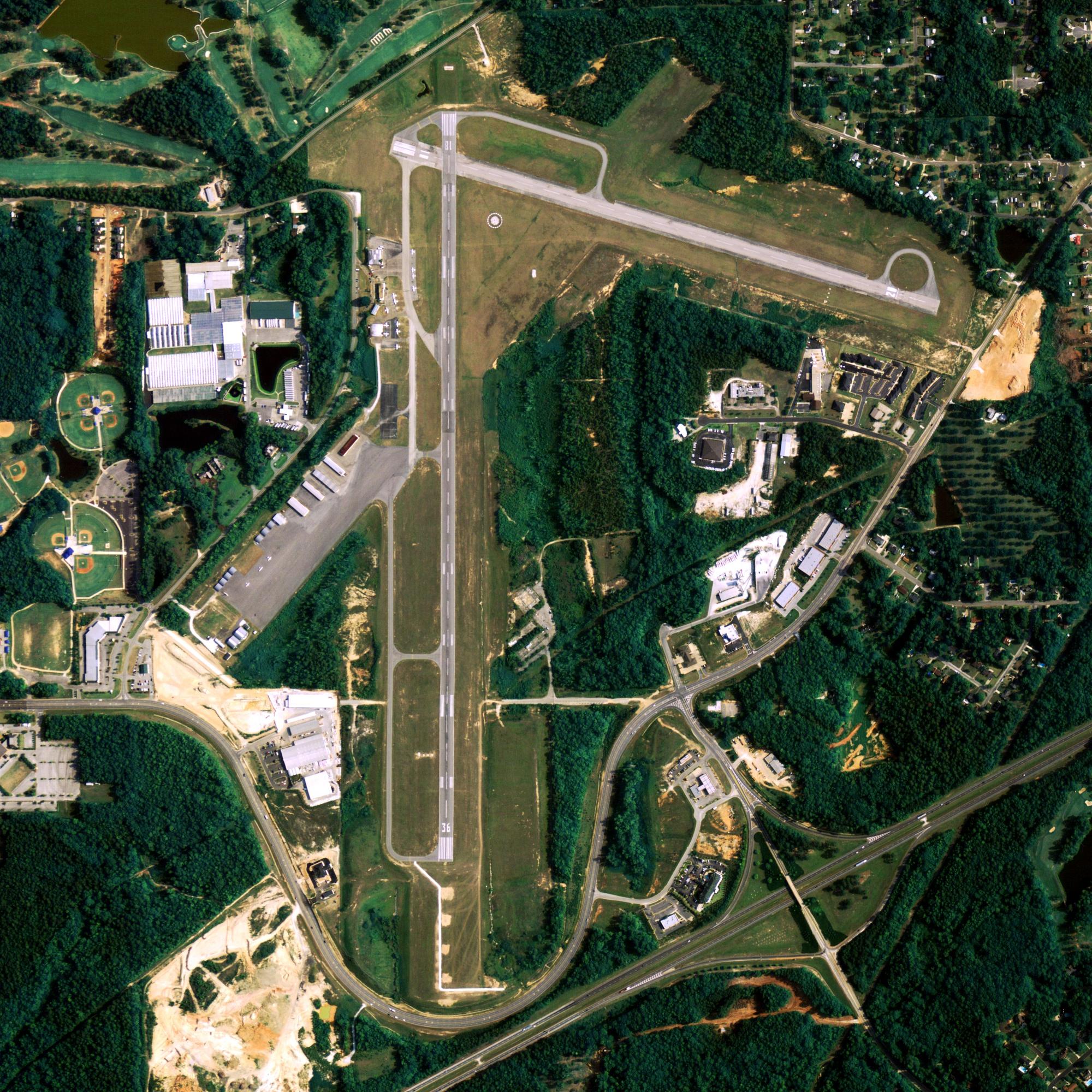
Runway Information
Runway 7R/25L
| Dimensions: | 12400 x 200 ft. / 3780 x 61 m | ||||||||||||
| Surface: | asphalt/concrete/grooved, in good condition | ||||||||||||
| Weight bearing capacity: |
|
||||||||||||
| Runway edge lights: | high intensity | ||||||||||||
| Gradient: | WEST. | ||||||||||||
| RUNWAY 7R | RUNWAY 25L | ||||||||||||
| Latitude: | 61-10.068693N | 61-10.072870N | |||||||||||
| Longitude: | 150-02.572278W | 149-58.358917W | |||||||||||
| Elevation: | 131.7 ft. | 100.4 ft. | |||||||||||
| Traffic pattern: | right | left | |||||||||||
| Runway heading: | 074 magnetic, 090 true | 254 magnetic, 270 true | |||||||||||
| Declared distances: | TORA:10900 TODA:10900 ASDA:10900 LDA:12400 | TORA:12400 TODA:12400 ASDA:12000 LDA:12000 | |||||||||||
| Markings: | precision, in good condition | precision, in good condition | |||||||||||
| Visual slope indicator: | 4-light PAPI on right (3.00 degrees glide path) | 4-light PAPI on left (3.00 degrees glide path) | |||||||||||
| RVR equipment: | touchdown, midfield, rollout | touchdown, midfield, rollout | |||||||||||
| Approach lights: | ALSF2: standard 2,400 foot high intensity approach lighting system with centerline sequenced flashers (category II or III) | ||||||||||||
| Runway end identifier lights: | no | ||||||||||||
| Centerline lights: | yes | yes | |||||||||||
| Touchdown point: | yes, lighted | yes, no lights | |||||||||||
| Instrument approach: | ILS/DME | ||||||||||||
Runway 15/33
| Dimensions: | 10865 x 150 ft. / 3312 x 46 m | ||||||||||||
| Surface: | asphalt/grooved, in good condition | ||||||||||||
| Weight bearing capacity: |
|
||||||||||||
| Runway edge lights: | high intensity | ||||||||||||
| Gradient: | SOUTHEAST. | ||||||||||||
| RUNWAY 15 | RUNWAY 33 | ||||||||||||
| Latitude: | 61-11.983825N | 61-10.262453N | |||||||||||
| Longitude: | 150-00.871828W | 149-59.908128W | |||||||||||
| Elevation: | 151.3 ft. | 121.7 ft. | |||||||||||
| Traffic pattern: | right | left | |||||||||||
| Runway heading: | 149 magnetic, 165 true | 329 magnetic, 345 true | |||||||||||
| Displaced threshold: | no | 465 ft. | |||||||||||
| Declared distances: | TORA:10865 TODA:10865 ASDA:10000 LDA:10000 | TORA:10865 TODA:11965 ASDA:10865 LDA:10400 | |||||||||||
| Markings: | precision, in good condition | precision, in good condition | |||||||||||
| Visual slope indicator: | 4-light PAPI on left (3.20 degrees glide path) | 4-light PAPI on right (3.00 degrees glide path) | |||||||||||
| RVR equipment: | touchdown, midfield, rollout | touchdown, midfield, rollout | |||||||||||
| Approach lights: | ODALS: omnidirectional approach lighting system | ||||||||||||
| Runway end identifier lights: | yes | ||||||||||||
| Centerline lights: | yes | yes | |||||||||||
| Touchdown point: | yes, no lights | yes, no lights | |||||||||||
| Instrument approach: | ILS/DME | ||||||||||||
Runway 7L/25R
| Dimensions: | 10600 x 150 ft. / 3231 x 46 m | ||||||||||||
| Surface: | asphalt/grooved, in good condition | ||||||||||||
| Weight bearing capacity: |
|
||||||||||||
| Runway edge lights: | high intensity | ||||||||||||
| Gradient: | EAST. | ||||||||||||
| RUNWAY 7L | RUNWAY 25R | ||||||||||||
| Latitude: | 61-10.185898N | 61-10.188670N | |||||||||||
| Longitude: | 150-00.499997W | 149-56.898043W | |||||||||||
| Elevation: | 127.6 ft. | 91.5 ft. | |||||||||||
| Traffic pattern: | right | left | |||||||||||
| Runway heading: | 074 magnetic, 090 true | 254 magnetic, 270 true | |||||||||||
| Declared distances: | TORA:10600 TODA:10600 ASDA:10600 LDA:10600 | TORA:10600 TODA:10600 ASDA:10600 LDA:10600 | |||||||||||
| Markings: | precision, in good condition | precision, in good condition | |||||||||||
| Visual slope indicator: | 4-light PAPI on right (3.00 degrees glide path) | 4-light PAPI on left (3.00 degrees glide path) | |||||||||||
| RVR equipment: | touchdown | rollout | |||||||||||
| Approach lights: | MALSR: 1,400 foot medium intensity approach lighting system with runway alignment indicator lights | ||||||||||||
| Centerline lights: | yes | yes | |||||||||||
| Touchdown point: | yes, lighted | yes, no lights | |||||||||||
| Instrument approach: | ILS/DME | ||||||||||||
Other nearby airports with instrument procedures:
- PAMR – Merrill Field Airport (5 nm NE)
- PAED – Elmendorf Air Force Base (7 nm NE)
- PAFR – Bryant Army Airfield Heliport (11 nm NE)
- PAGQ – Big Lake Airport (22 nm N)
- PAWS – Wasilla Airport (27 nm NE)

airport-image-3

airport-image-4
[awesome-weather custom_bg_color=”#448ccb” location=”5879400″ size=”wide”]
Anchorage Quick Info
Country: USA
State: Alaska
Area
1,944.05 sq mi (5,035.06 km2)
Coordinates 61°13′N 149°54′W
Population
291,538 (2018 est)
Density
170.81/sq mi (65.95/km2)
Time zone
UTC-9 (AKST)