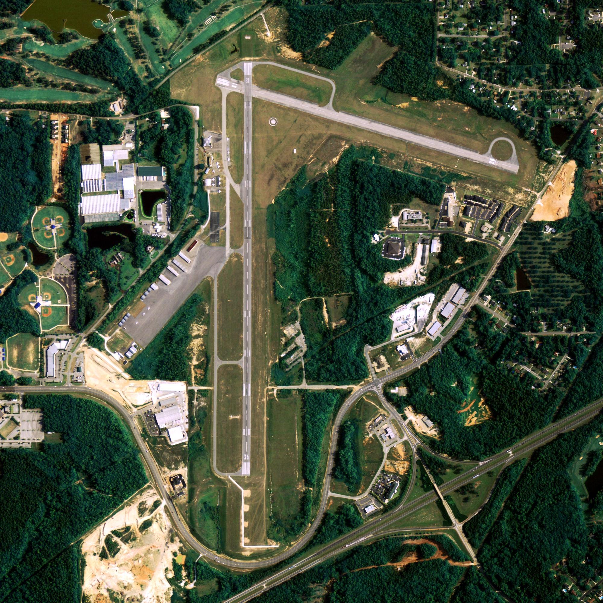
Location
| FAA Identifier: | AKK |
| Lat/Long: | 56-56-19.2870N 154-10-57.2000W 56-56.321450N 154-10.953333W 56.9386908,-154.1825556 (estimated) |
| Elevation: | 44.4 ft. / 13.5 m (surveyed) |
| Variation: | 18E (2005) |
| From city: | 1 mile SSW of AKHIOK, AK |
| Time zone: | UTC -9 (UTC -8 during Daylight Saving Time) |
| Zip code: | 99615 |
Runway Information
Runway 4/22
| Dimensions: | 3120 x 50 ft. / 951 x 15 m | ||
| Surface: | gravel, in good condition RY 4/22 NE 1/3 HAS WATER PUDDLES TO 2 IN DEEP. |
||
| Runway edge markings: | RWY 04 /22 MKD WITH ORANGE CONES & THLDS MKD WITH PLASTIC REFLECTIVE MKRS THAT ARE DIFFICULT TO SEE ON FINAL APCH. | ||
| RUNWAY 4 | RUNWAY 22 | ||
| Latitude: | 56-56.194600N | 56-56.433033N | |
| Longitude: | 154-11.394800W | 154-10.565050W | |
| Elevation: | 44.1 ft. | 39.1 ft. | |
| Traffic pattern: | right | left | |
| Runway heading: | 044 magnetic, 062 true | 224 magnetic, 242 true | |
| Touchdown point: | yes, no lights | yes, no lights | |
| Obstructions: | 15 ft. road, 450 ft. from runway, 170 ft. left and right of centerline, 30:1 slope to clear | 8 ft. brush, 45 ft. right of centerline | |
Other nearby airports with instrument procedures:
PADQ – Kodiak Airport (73 nm NE)
Akhiok Quick Info
Country: USA
State: Alaska
Area
9.61 sq mi (24.89 km2)
Coordinates 56°56′40″N 154°10′13″W
Population
70 (2018 est)
Density
9.46/sq mi (3.65/km2)
Time zone Alaska
Alaska (AKST) (UTC-9)


