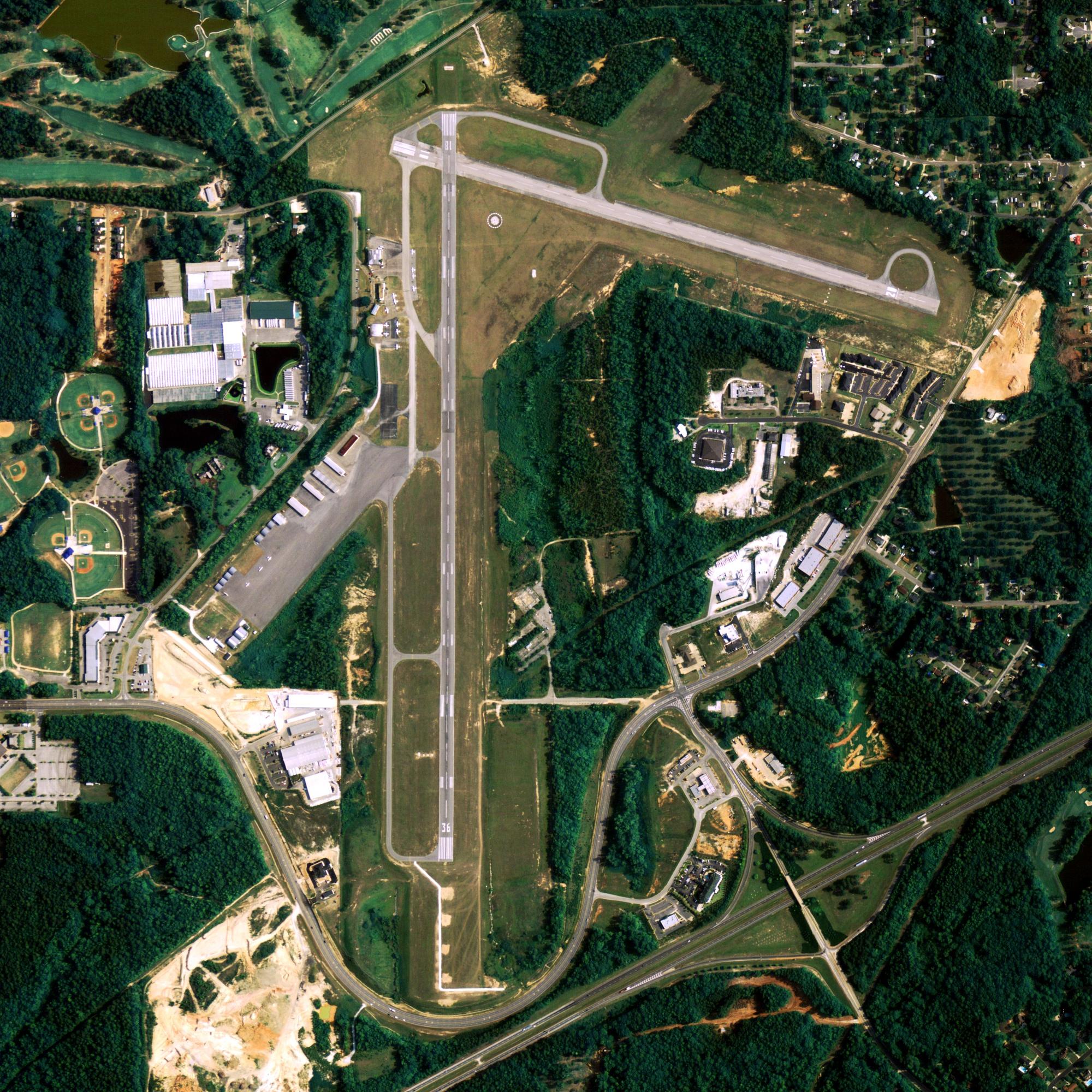
Location
| FAA Identifier: | AKI |
| Lat/Long: | 60-54-10.4300N 161-13-50.1000W 60-54.173833N 161-13.835000W 60.9028972,-161.2305833 (estimated) |
| Elevation: | 39.8 ft. / 12 m (estimated) |
| Variation: | 16E (2005) |
| Time zone: | UTC -9 (UTC -8 during Daylight Saving Time) |
| Zip code: | 99552 |
Runway Information
Runway 3/21
| Dimensions: | 3200 x 76 ft. / 975 x 23 m | ||
| Surface: | gravel, in good condition | ||
| Runway edge lights: | medium intensity | ||
| Runway edge markings: | RYS 03 & 21 NSTD MKGS: RYS MKD WITH CONES & REFLECTIVE THLD MARKERS. | ||
| RUNWAY 3 | RUNWAY 21 | ||
| Latitude: | 60-53.994717N | 60-54.352883N | |
| Longitude: | 161-14.229083W | 161-13.440983W | |
| Elevation: | 39.8 ft. | 39.8 ft. | |
| Traffic pattern: | left | left | |
| Runway heading: | 031 magnetic, 047 true | 211 magnetic, 227 true | |
| Markings: | NSTD | NSTD | |
| Touchdown point: | yes, no lights | yes, no lights | |
| Obstructions: | 4 ft. brush, 64 ft. left of centerline | 18 ft. trees, 190 ft. right of centerline | |
Other nearby airports with instrument procedures:
- PFKW – Kwethluk Airport (9 nm SW)
- PABE – Bethel Airport (19 nm SW)
- PAPK – Napaskiak Airport (20 nm SW)
- PANA – Napakiak Airport (25 nm SW)
- PFKA – Kasigluk Airport (38 nm W)
Akiak Quick Info
Country: USA
State: Alaska
Area
3.00 sq mi (7.77 km2)
Coordinates 60°54′36″N 161°13′6″W
Population
394 (2018 est)
Density
208.69/sq mi (80.57/km2)
Time zone Alaska
UTC-9 (Alaska (AKST))


