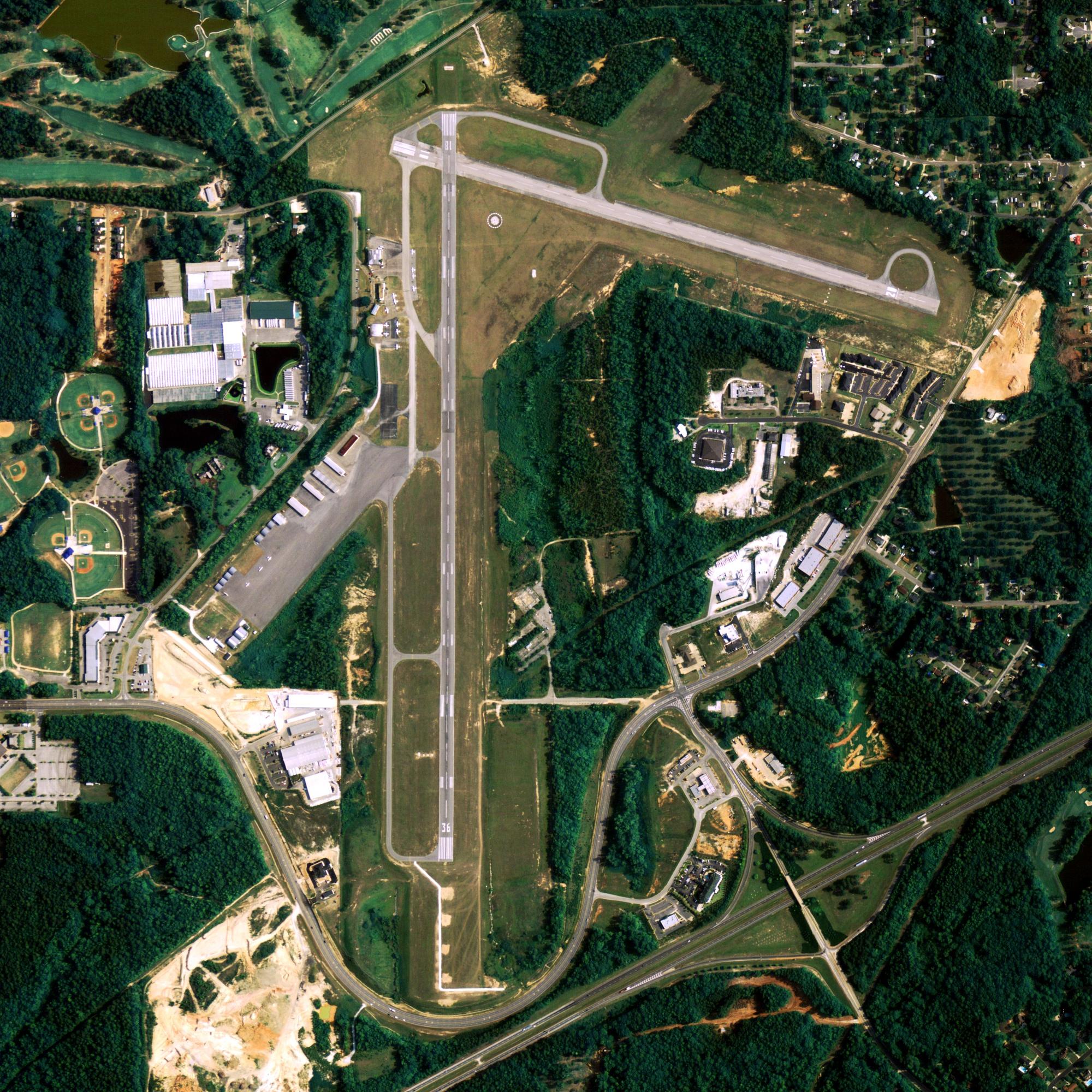
Location
| FAA Identifier: | 6A8 |
| Lat/Long: | 66-33-06.6000N 152-37-19.8000W 66-33.110000N 152-37.330000W 66.5518333,-152.6221667 (estimated) |
| Elevation: | 441.1 ft. / 134.4 m (surveyed) |
| Variation: | 22E (2005) |
| From city: | 1 mile SSE of ALLAKAKET, AK |
| Time zone: | UTC -9 (UTC -8 during Daylight Saving Time) |
| Zip code: | 99720 |
Runway Information
Runway 5/23
| Dimensions: | 4000 x 100 ft. / 1219 x 30 m | ||
| Surface: | gravel, in good condition | ||
| Runway edge lights: | medium intensity | ||
| Runway edge markings: | RY 05/23 MARKED WITH LIGHTS AND CONES. | ||
| RUNWAY 5 | RUNWAY 23 | ||
| Latitude: | 66-33.018168N | 66-33.201712N | |
| Longitude: | 152-38.120643W | 152-36.539543W | |
| Elevation: | 438.2 ft. | 441.1 ft. | |
| Traffic pattern: | left | left | |
| Runway heading: | 051 magnetic, 073 true | 231 magnetic, 253 true | |
| Markings: | NSTD | ||
| Touchdown point: | yes, no lights | yes, no lights | |
| Obstructions: | 9 ft. brush, 336 ft. from runway, 37:1 slope to clear | none | |
Other nearby airports with instrument procedures:
- PABT – Bettles Airport (34 nm NE)
- PAIM – Indian Mountain LRRS Airport (43 nm SW)
- PACX – Coldfoot Airport (71 nm NE)
- PATA – Ralph M Calhoun Memorial Airport (84 nm S)
- PAKP – Anaktuvuk Pass Airport (97 nm N)
Allakaket Quick Info
Country: USA
State: Alaska
Area
17.03 sq mi (44.12 km2)
Coordinates 66°33′48″N 152°38′50″W
Population
164 (2018 est)
Density
11.14/sq mi (4.30/km2)
Time zone Alaska
UTC-9 (Alaska (AKST))


