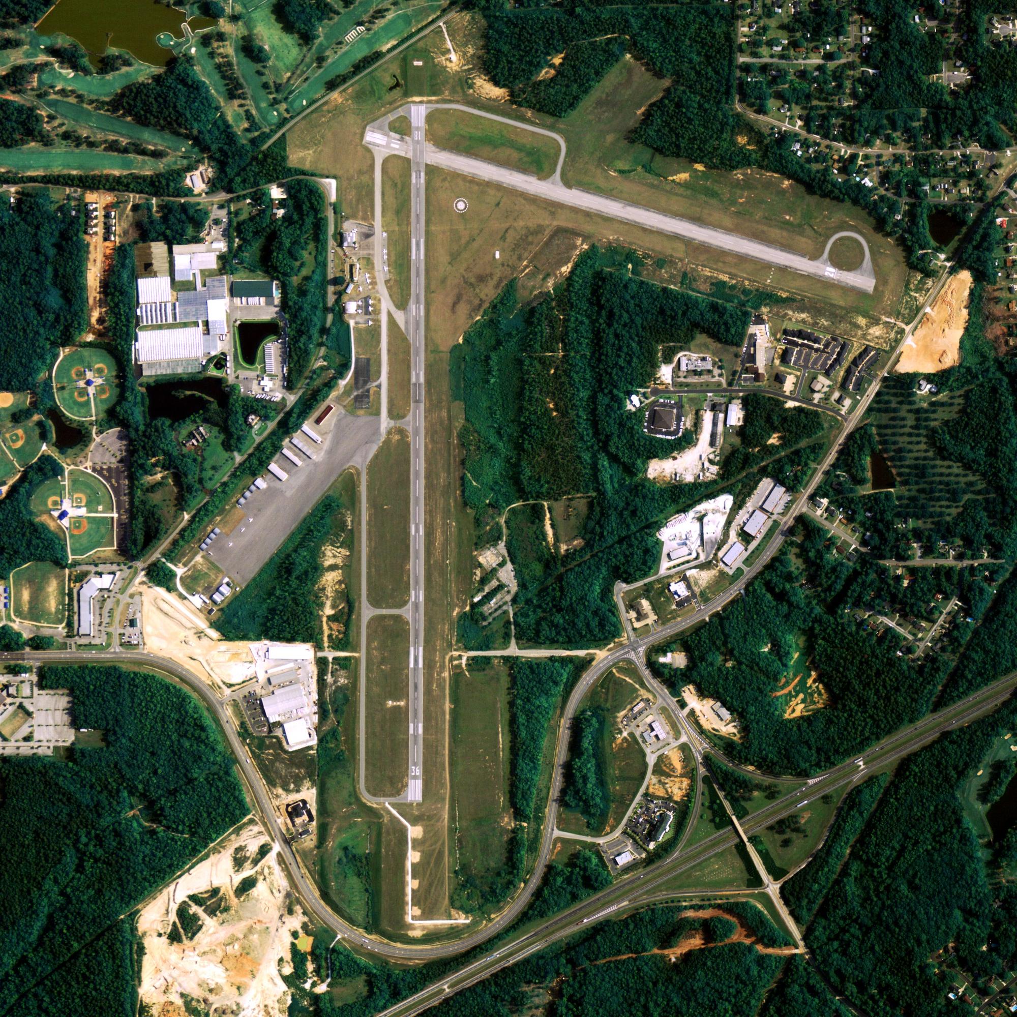
Location
| FAA Identifier: | ANN |
| Lat/Long: | 55-02-32.2569N 131-34-15.2377W 55-02.537615N 131-34.253962W 55.0422936,-131.5708994 (estimated) |
| Elevation: | 119 ft. / 36.3 m (surveyed) |
| Variation: | 26E (1985) |
| From city: | ARPT 5MI SW METLAKATLA. |
| Time zone: | UTC -9 (UTC -8 during Daylight Saving Time) |
| Zip code: | 99926 |
Runway Information
Runway 12/30
| Dimensions: | 7493 x 150 ft. / 2284 x 46 m | ||
| Surface: | asphalt | ||
| RUNWAY 12 | RUNWAY 30 | ||
| Latitude: | 55-03.054632N | 55-01.977590N | |
| Longitude: | 131-35.163935W | 131-34.124998W | |
| Elevation: | 99.0 ft. | 99.0 ft. | |
| Traffic pattern: | right | left | |
| Markings: | nonprecision, in good condition | nonprecision, in good condition | |
| Runway end identifier lights: | no | no | |
| Touchdown point: | yes, no lights | yes, no lights | |
Runway 2/20
| Dimensions: | 5709 x 150 ft. / 1740 x 46 m | ||
| Surface: | gravel | ||
| RUNWAY 2 | RUNWAY 20 | ||
| Latitude: | 55-02.240467N | 55-02.891213N | |
| Longitude: | 131-34.329767W | 131-33.153087W | |
| Elevation: | 92.0 ft. | 99.0 ft. | |
| Traffic pattern: | right | left | |
| Runway end identifier lights: | no | no | |
| Touchdown point: | yes, no lights | yes, no lights | |
| Obstructions: | trees brush, 120 ft. from runway, 24:1 slope to clear | trees brush, 250 ft. from runway, 20:1 slope to clear | |
Some nearby airports with instrument procedures:
PAKT – Ketchikan International Airport (19 nm N)
PAKW – Klawock Airport (61 nm NW)
PAWG – Wrangell Airport (91 nm N)
Metlakatla Quick Info
Country: USA
State: Alaska
Area
2.3 sq mi (6.1 km2)
Coordinates 55°7′37″N 131°34′35″W
Population
1,375
Density: 593.4/sq mi (229.1/km2)
Time zoneTime zone Eastern
UTC−9 (AKST)
What to do In
Annette Island
- NA
Where To Stay In
Annette Island
Where To Eat In
Annette Island
- NA


