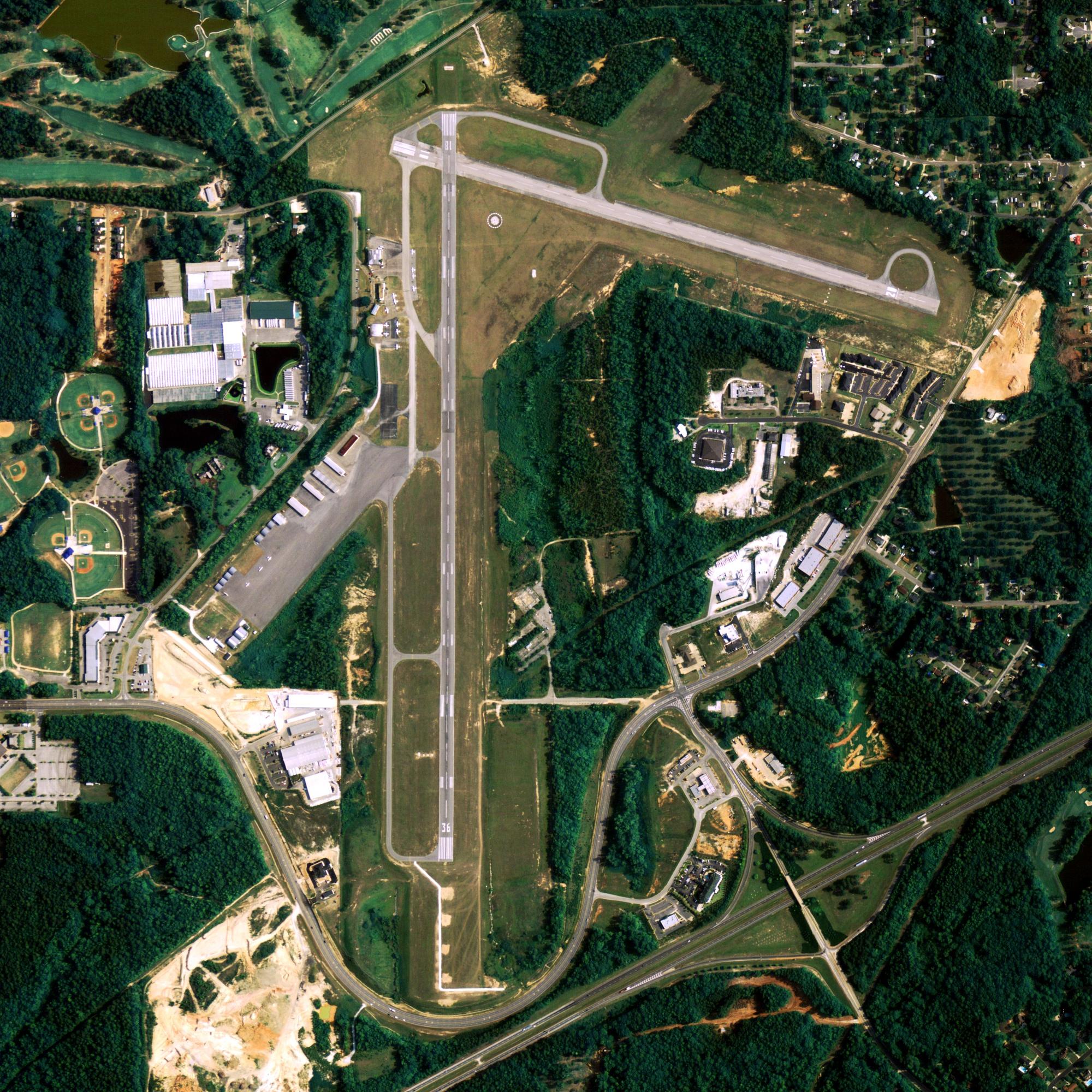
Location
| FAA Identifier: | AKA |
| Lat/Long: | 52-13-14.1000N 174-12-22.3000W 52-13.235000N 174-12.371667W 52.2205833,-174.2061944 (estimated) |
| Elevation: | 55.2 ft. / 16.8 m (surveyed) |
| Variation: | 08E (2005) |
| From city: | 2 miles N of ATKA, AK |
| Time zone: | UTC -10 (year round; does not observe DST) |
| Zip code: | 99547 |
Runway Information
Runway 16/34
| Dimensions: | 4500 x 100 ft. / 1372 x 30 m | ||||
| Surface: | asphalt/grooved, in good condition WASH-OUT OFF RIGHT SIDE OF RWY 34 OUT SIDE OF LIGHTS. |
||||
| Weight bearing capacity: |
|
||||
| Runway edge lights: | medium intensity | ||||
| Gradient: | N. | ||||
| Operational restrictions: | RWY MARKINGS BADLY WORN, POOR CONDITION. | ||||
| RUNWAY 16 | RUNWAY 34 | ||||
| Latitude: | 52-13.592102N | 52-12.877207N | |||
| Longitude: | 174-12.526563W | 174-12.218068W | |||
| Elevation: | 55.2 ft. | 32.8 ft. | |||
| Traffic pattern: | left | left | |||
| Runway heading: | 157 magnetic, 165 true | 337 magnetic, 345 true | |||
| Markings: | nonprecision, in poor condition | nonprecision, in poor condition | |||
| Runway end identifier lights: | yes | yes | |||
| Touchdown point: | yes, no lights | yes, no lights | |||
| Obstructions: | 5 ft. hill, 200 ft. from runway, 250 ft. right of centerline | 15 ft. hill, 287 ft. from runway, 150 ft. right of centerline, 5:1 slope to clear | |||
Other nearby airports with instrument procedures:
- PADK – Adak Airport (92 nm W)
Atka Quick Info
Country: USA
State: Alaska
Area
36.40 sq mi (94.28 km2)
Coordinates 52°11′57″N 174°12′48″W
Population
84 (2018 est)
Density: 52°11′57″N 174°12′48″W
Time zone
UTC-10 (Hawaii-Aleutian (HST))
What to do In Atka
NA
Where To Stay In Atka
*photo by: https://i.imgur.com/0uWCuDC.jpg
Where To Eat In Atka
NA


