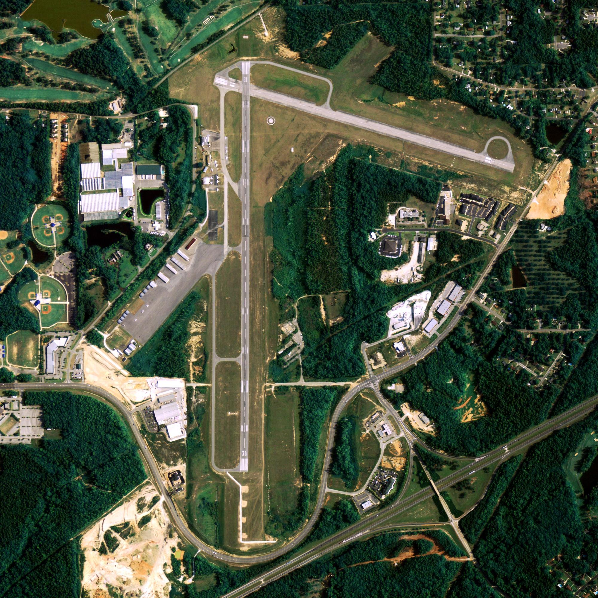
Location
| FAA Identifier: | ATU |
| Lat/Long: | 52-49-57.1500N 173-10-31.9950E 52-49.952500N 173-10.533250E 52.8325417,173.1755542 (estimated) |
| Elevation: | 88 ft. / 26.8 m (surveyed) |
| Variation: | 03E (1985) |
| From city: | 40 SM NW SHEMYA AFS. |
| Time zone: | UTC -10 (year round; does not observe DST) |
Runway Information
Runway 2/20
| Dimensions: | 5998 x 150 ft. / 1828 x 46 m | ||||||||
| Surface: | asphalt, in fair condition | ||||||||
| Weight bearing capacity: |
|
||||||||
| Gradient: | NORTH | ||||||||
| RUNWAY 2 | RUNWAY 20 | ||||||||
| Latitude: | 52-49.491333N | 52-50.413667N | |||||||
| Longitude: | 173-10.246167E | 173-10.820333E | |||||||
| Elevation: | 54.7 ft. | 88.4 ft. | |||||||
| Traffic pattern: | left | left | |||||||
| Runway heading: | 018 magnetic, 021 true | 198 magnetic, 201 true | |||||||
| Markings: | basic, in good condition | basic, in good condition | |||||||
| Runway end identifier lights: | yes | ||||||||
| Touchdown point: | yes, no lights | yes, no lights | |||||||
| Obstructions: | hill, 5280 ft. from runway, 14:1 slope to clear | hill, 2640 ft. from runway, 7:1 slope to clear | |||||||
Some nearby airports with instrument procedures:
PASY – Eareckson Air Station (35 nm E)
Attu Island Quick Info
Country: USA
State: Alaska
Area
344.7 sq mi (893 km2)
Coordinates 52°54′09″N 172°54′34″E
What to do In Attu
NA
Where To Stay In Attu
*photo by: https://i.imgur.com/0uWCuDC.jpg
Where To Eat In Attu
NA


