Location
| FAA Identifier: | EDN |
| Lat/Long: | 31-17-59.0000N / 085-53-59.4000W 31-17.983333N / 085-53.990000W 31.2997222 / -85.8998333 (estimated) |
| Elevation: | 360.9 ft. / 110.0 m (surveyed) |
| Variation: | 03W (2005) |
| From city: | 3 miles W of ENTERPRISE, AL |
| Time zone: | UTC -5 (UTC -6 during Standard Time) |
| Zip code: | 36330 |
Runway Information
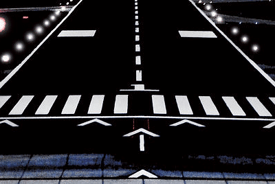
Runway 5/23
| Dimensions: | 5080 x 100 ft. / 1548 x 30 m | ||
| Surface: | asphalt, in good condition | ||
| Runway edge lights: | medium intensity | ||
| Runway edge markings: | MARKINGS ARE FAIR DUE TO FADING | ||
| RUNWAY 5 | RUNWAY 23 | ||
| Latitude: | 31-17.724462N | 31-18.241587N | |
| Longitude: | 085-54.374587W | 085-53.606833W | |
| Elevation: | 342.4 ft. | 353.2 ft. | |
| Traffic pattern: | left | left | |
| Runway heading: | 055 magnetic, 052 true | 235 magnetic, 232 true | |
| Markings: | nonprecision, in fair condition | nonprecision, in fair condition | |
| Visual slope indicator: | 2-light PAPI on left (3.00 degrees glide path) | 2-light PAPI on left (3.50 degrees glide path) | |
| Runway end identifier lights: | yes | yes | |
| Touchdown point: | yes, no lights | yes, no lights | |
| Obstructions: | 12 ft. trees, 392 ft. from runway, 104 ft. left of centerline, 16:1 slope to clear | 29 ft. pole, 837 ft. from runway, 101 ft. right of centerline, 22:1 slope to clear | |
Other nearby airports with instrument procedures:
- KLOR – Lowe Army Heliport (Fort Rucker) (8 nm NE)
- KOZR – Cairns Army Airfield (Fort Rucker) (10 nm E)
- KHEY – Hanchey Army Heliport (Fort Rucker) (13 nm E)
- 33J – Geneva Municipal Airport (15 nm S)
- 71J – Ozark-Blackwell Field Airport (16 nm NE)

Enterprise Quick Info
Country: USA
State: Alabama
Area
30.70 sq mi (79.51 km2)
Coordinates 31°19′39″N 85°50′40″W
Population
28,269 (2018 est)
Density: 922.86/sq mi (356.32/km2)
Time zone Eastern
Central (CST) (UTC-6)