Location
| FAA Identifier: | GAD |
| Lat/Long: | 33-58-21.5359N / 086-05-20.7004W 33-58.358932N / 086-05.345007W 33.9726489 / -86.0890834 (estimated) |
| Elevation: | 569.2 ft. / 173.5 m (surveyed) |
| Variation: | 03W (2010) |
| From city: | 4 miles SW of GADSDEN, AL |
| Time zone: | UTC -5 (UTC -6 during Standard Time) |
| Zip code: | 35954 |
Runway Information
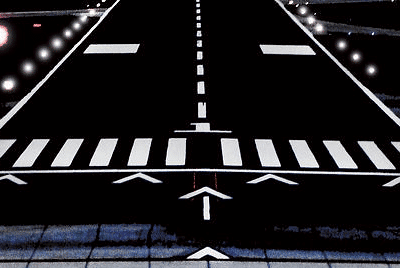
Runway 6/24
| Dimensions: | 6802 x 150 ft. / 2073 x 46 m | ||||||||
| Surface: | asphalt/grooved, in good condition | ||||||||
| Weight bearing capacity: |
|
||||||||
| Runway edge lights: | high intensity | ||||||||
| RUNWAY 6 | RUNWAY 24 | ||||||||
| Latitude: | 33-57.950313N | 33-58.498280N | |||||||
| Longitude: | 086-06.064573W | 086-04.890007W | |||||||
| Elevation: | 569.2 ft. | 549.3 ft. | |||||||
| Traffic pattern: | left | left | |||||||
| Runway heading: | 064 magnetic, 061 true | 244 magnetic, 241 true | |||||||
| Markings: | nonprecision, in good condition | precision, in good condition | |||||||
| Visual slope indicator: | 4-light PAPI on left (3.00 degrees glide path) | 4-light PAPI on left (3.00 degrees glide path) | |||||||
| Runway end identifier lights: | yes OTS INDEFLY |
yes OTS INDEFLY |
|||||||
| Touchdown point: | yes, no lights | yes, no lights | |||||||
| Instrument approach: | ILS/DME | ||||||||
| Obstructions: | 45 ft. tree, 1161 ft. from runway, 222 ft. right of centerline, 21:1 slope to clear | pole, 4 ft. of centerline | |||||||
Runway 18/36
| Dimensions: | 4806 x 100 ft. / 1465 x 30 m | ||||||||
| Surface: | asphalt, in fair condition | ||||||||
| Weight bearing capacity: |
|
||||||||
| Runway edge lights: | medium intensity | ||||||||
| RUNWAY 18 | RUNWAY 36 | ||||||||
| Latitude: | 33-58.945617N | 33-58.153347N | |||||||
| Longitude: | 086-05.155667W | 086-05.159898W | |||||||
| Elevation: | 541.9 ft. | 553.0 ft. | |||||||
| Traffic pattern: | left | left | |||||||
| Runway heading: | 183 magnetic, 180 true | 003 magnetic, 000 true | |||||||
| Markings: | nonprecision, in fair condition | nonprecision, in fair condition | |||||||
| Visual slope indicator: | 2-light PAPI on left (2.75 degrees glide path) | 2-light PAPI on left (2.75 degrees glide path) | |||||||
| Touchdown point: | yes, no lights | yes, no lights | |||||||
| Obstructions: | 18 ft. tree, 660 ft. from runway, 13 ft. right of centerline, 25:1 slope to clear | 56 ft. tree, 1865 ft. from runway, 119 ft. right of centerline, 29:1 slope to clear | |||||||
Other nearby airports with instrument procedures:
- 20A – Robbins Field Airport (14 nm W)
- 8A0 – Albertville Regional Airport-Thomas J Brumlik Field (17 nm NW)
- KASN – Talladega Municipal Airport (24 nm S)
- KPYP – Centre-Piedmont-Cherokee County Regional Airport (25 nm E)
- KANB – Anniston Regional Airport (26 nm SE)

Gadsden Quick Info
Country: USA
State: Alabama
Area
37.31 sq mi (96.64 km2)
Coordinates 34°0′36″N 86°0′37″W
Population
35,157 (2018 est)
Density: 942.24/sq mi (363.80/km2)
Time zone Eastern
Central (CST) (UTC-6)