
Location
| FAA Identifier: | HUA |
| Lat/Long: | 34-40-43.1570N 086-41-05.2170W 34-40.719283N 086-41.086950W 34.6786547,-86.6847825 (estimated) |
| Elevation: | 685 ft. / 209 m (estimated) |
| Variation: | 04W (2020) |
| From city: | 6 miles SW of REDSTONE ARSNL HUNTSVILLE, AL |
| Time zone: | UTC -6 (UTC -5 during Daylight Saving Time) |
| Zip code: | 35808 |
Runway Information
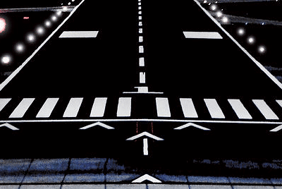
Runway 17/35
| Dimensions: | 7297 x 150 ft. / 2224 x 46 m | ||||
| Surface: | asphalt, in good condition | ||||
| Weight bearing capacity: |
|
||||
| Runway edge lights: | high intensity | ||||
| RUNWAY 17 | RUNWAY 35 | ||||
| Latitude: | 34-41.310888N | 34-40.127685N | |||
| Longitude: | 086-41.219935W | 086-40.953980W | |||
| Elevation: | 685.0 ft. | 654.4 ft. | |||
| Traffic pattern: | left | right TFC PAT: RGT TFC RWY 35 R/W 1400 FT, F/W SENG 1700 FT, F/W TURBOPROP/JET 2200 FT, OVERHEAD 2700 FT. |
|||
| Markings: | precision, in good condition | precision, in good condition | |||
| Visual slope indicator: | 4-light PAPI on left (3.00 degrees glide path) | 4-light PAPI on left (3.00 degrees glide path) | |||
| Approach lights: | MALSR: 1,400 foot medium intensity approach lighting system with runway alignment indicator lights | ||||
| Touchdown point: | yes, no lights | yes, no lights | |||
Other nearby airports with instrument procedures:
- KHSV – Huntsville International Airport-Carl T Jones Field (5 nm SW)
- KMDQ – Huntsville Executive Airport / Tom Sharp Jr Field (13 nm NE)
- KDCU – Pryor Field Regional Airport (13 nm W)
- 5M0 – Hartselle-Morgan County Regional Airport (20 nm SW)
- KFYM – Fayetteville Municipal Airport (24 nm N)
Huntsville Quick Info
Country: USA
State: Alabama
Area
215.73 sq mi (558.73 km2)
Coordinates 34°43′48″N 86°35′6″W
Population
197,318 (2018 est)
Density: 920.49/sq mi (355.40/km2)
Time zone Central
Central (CST) (UTC-6)