Location
| FAA Identifier: | ADK |
| Lat/Long: | 51-53-00.8954N 176-38-32.9277W 51-53.014923N 176-38.548795W 51.8835821,-176.6424799 (estimated) |
| Elevation: | 19.5 ft. / 5.9 m (surveyed) |
| Variation: | 07E (2000) |
| Time zone: | UTC -10 (year round; does not observe DST) |
| Zip code: | 99546 |
Runway Information
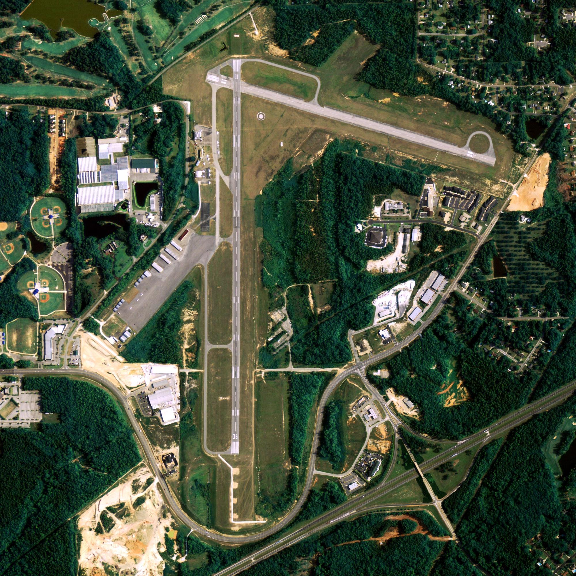
Runway 5/23
| Dimensions: | 7790 x 200 ft. / 2374 x 61 m | ||||||||||||
| Surface: | asphalt/grooved, in good condition | ||||||||||||
| Weight bearing capacity: |
|
||||||||||||
| Runway edge lights: | high intensity | ||||||||||||
| RUNWAY 5 | RUNWAY 23 | ||||||||||||
| Latitude: | 51-52.700375N | 51-53.329470N | |||||||||||
| Longitude: | 176-39.449815W | 176-37.647773W | |||||||||||
| Elevation: | 19.5 ft. | 17.3 ft. | |||||||||||
| Traffic pattern: | right | left | |||||||||||
| Runway heading: | 054 magnetic, 061 true | 234 magnetic, 241 true | |||||||||||
| Declared distances: | TORA:7790 TODA:7790 ASDA:6790 LDA:6190 | TORA:7790 TODA:7790 ASDA:6790 LDA:6790 | |||||||||||
| Markings: | nonprecision, in good condition | precision, in good condition | |||||||||||
| Visual slope indicator: | 4-light PAPI on right (3.50 degrees glide path) UNUSBL BYD 7 DEG RIGHT OF CNTRLN. |
||||||||||||
| Approach lights: | MALS: 1,400 foot medium intensity approach lighting system NONSTANDARD LENGTH 600 FT. |
||||||||||||
| Runway end identifier lights: | yes | ||||||||||||
| Touchdown point: | yes, no lights | yes, no lights | |||||||||||
| Instrument approach: | LOC/GS | ||||||||||||
| Obstructions: | hill, 10:1 slope to clear | none | |||||||||||
Other nearby airports with instrument procedures:
PAAK – Atka Airport (92 nm E)
Adak Quick Info
Country: USA
State: Alaska
Area
71.47 sq mi (185.10 km2)
Coordinates 51°53′0″N 176°38′42″W
Population
329 (2018 est)
Density
10.01/sq mi (3.86/km2)
Time zone Hawaii-Aleutian
Hawaii-Aleutian (HST) (UTC-10)


