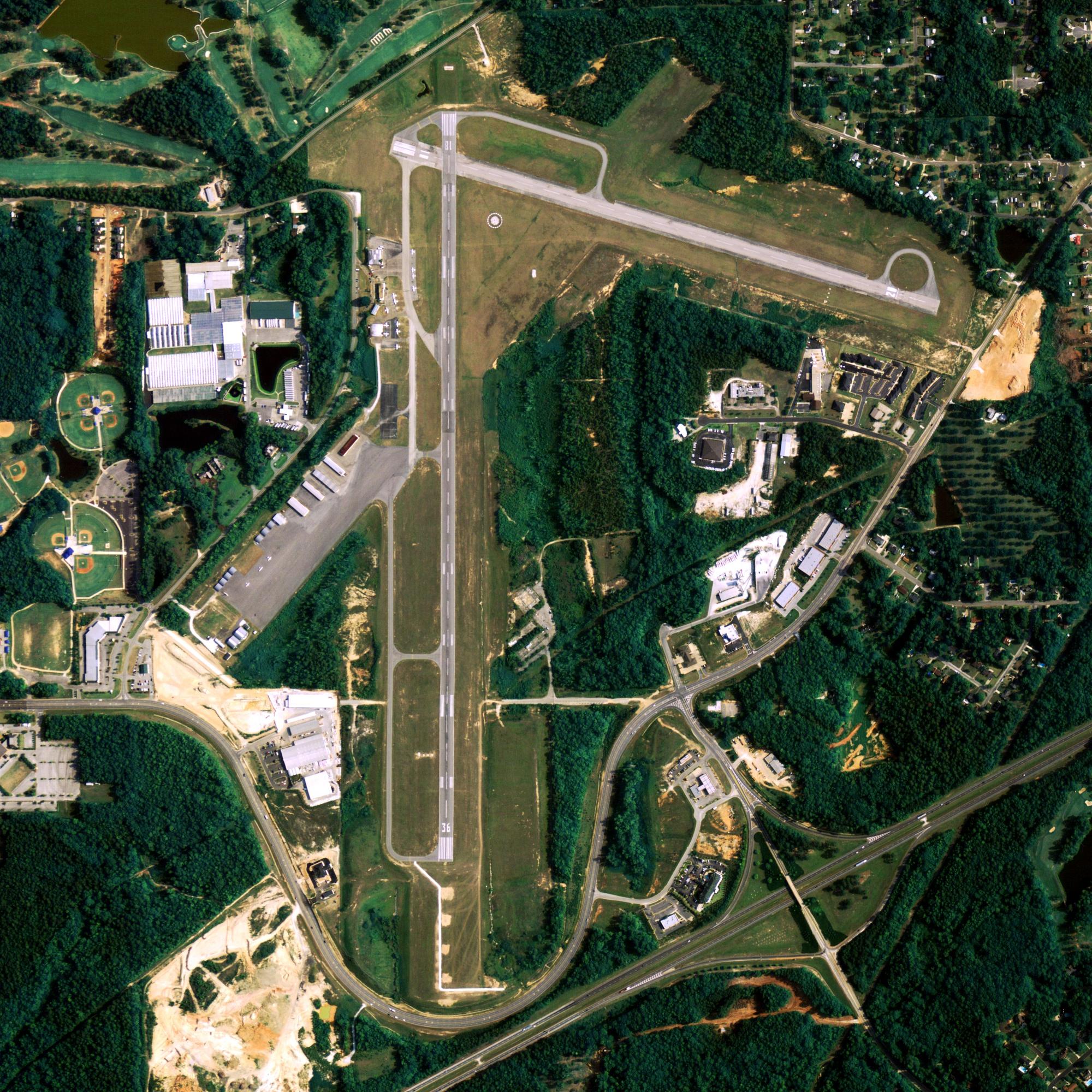
Location
| FAA Identifier: | BTI |
| Lat/Long: | 70-06-47.2000N 143-39-13.0000W 70-06.786667N 143-39.216667W 70.1131111,-143.6536111 (estimated) |
| Elevation: | 55.1 ft. / 16.8 m (surveyed) |
| Variation: | 18E (2020) |
| From city: | 1 mile NNE of BARTER ISLAND, AK |
| Time zone: | UTC -9 (UTC -8 during Daylight Saving Time) |
Runway Information
Runway 7/25
| Dimensions: | 4500 x 100 ft. / 1372 x 30 m | ||
| Surface: | gravel, in good condition | ||
| Runway edge lights: | medium intensity | ||
| RUNWAY 7 | RUNWAY 25 | ||
| Latitude: | 70-06.786480N | 70-06.787028N | |
| Longitude: | 143-40.299612W | 143-38.132835W | |
| Elevation: | 55.1 ft. | 49.7 ft. | |
| Traffic pattern: | left | left | |
| Runway heading: | 072 magnetic, 090 true | 252 magnetic, 270 true | |
| Markings: | none | none | |
| Visual slope indicator: | 2-light PAPI on left (3.00 degrees glide path) | 2-light PAPI on left (3.00 degrees glide path) | |
| Runway end identifier lights: | yes | yes | |
| Touchdown point: | yes, no lights | yes, no lights | |
| Obstructions: | 15 ft. road, 200 ft. from runway, 200 ft. left of centerline | none | |
Other nearby airports with instrument procedures:
PASC – Deadhorse Airport (98 nm W)
Kaktovik Quick Info
Country: USA
State: Alaska
Area
1.05 sq mi (2.71 km2)
Coordinates 70°07′58″N 143°36′58″W
Population
256 (2018 est)
Density: 330.75/sq mi (127.65/km2)
Time zone
UTC-9 (Alaska (AKST))


