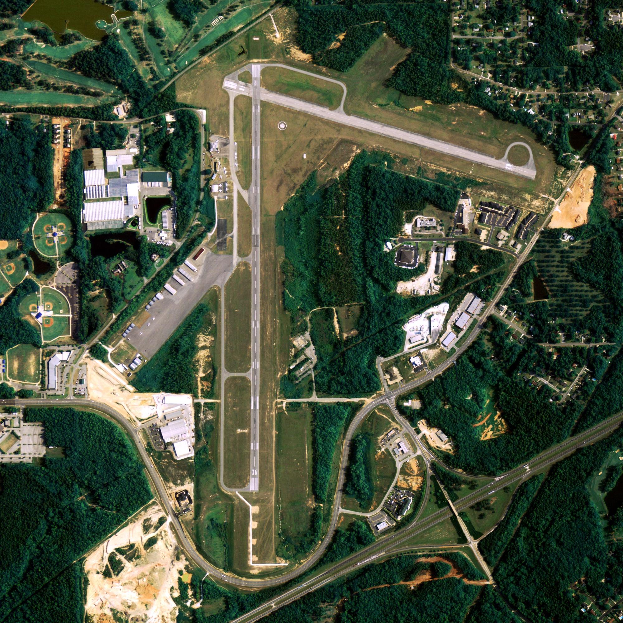
Location
| FAA Identifier: | BTT |
| Lat/Long: | 66-54-50.2000N 151-31-44.6000W 66-54.836667N 151-31.743333W 66.9139444,-151.5290556 (estimated) |
| Elevation: | 647.3 ft. / 197.3 m (surveyed) |
| Variation: | 16E (2020) |
| Time zone: | UTC -9 (UTC -8 during Daylight Saving Time) |
| Zip code: | 99726 |
Runway Information
Runway 2/20
| Dimensions: | 5190 x 150 ft. / 1582 x 46 m | ||
| Surface: | gravel, in good condition | ||
| Runway edge lights: | medium intensity | ||
| RUNWAY 2 | RUNWAY 20 | ||
| Latitude: | 66-54.476467N | 66-55.196147N | |
| Longitude: | 151-32.321585W | 151-31.163898W | |
| Elevation: | 635.2 ft. | 647.3 ft. | |
| Traffic pattern: | left | left | |
| Runway heading: | 016 magnetic, 032 true | 196 magnetic, 212 true | |
| Visual slope indicator: | 4-box VASI on left (3.00 degrees glide path) | 4-box VASI on left (3.00 degrees glide path) | |
| Approach lights: | MALSR: 1,400 foot medium intensity approach lighting system with runway alignment indicator lights | ||
| Touchdown point: | yes, no lights | yes, no lights | |
| Instrument approach: | LOC/DME | ||
| Obstructions: | 15 ft. road, 80 ft. right of centerline | 15 ft. road, 80 ft. right of centerline | |
Other nearby airports with instrument procedures:
- PFAL – Allakaket Airport (34 nm SW)
- PACX – Coldfoot Airport (37 nm NE)
- PAKP – Anaktuvuk Pass Airport (73 nm N)
- PAIM – Indian Mountain LRRS Airport (76 nm SW)
Bettles Quick Info
Country: USA
State: Alaska
Area
1.54 sq mi (4.00 km2)
Coordinates 66°54′48″N 151°31′21″W
Population
13 (2018 est)
Density: 8.56/sq mi (3.30/km2)
Time zone
UTC-9 (Alaska (AKST))


