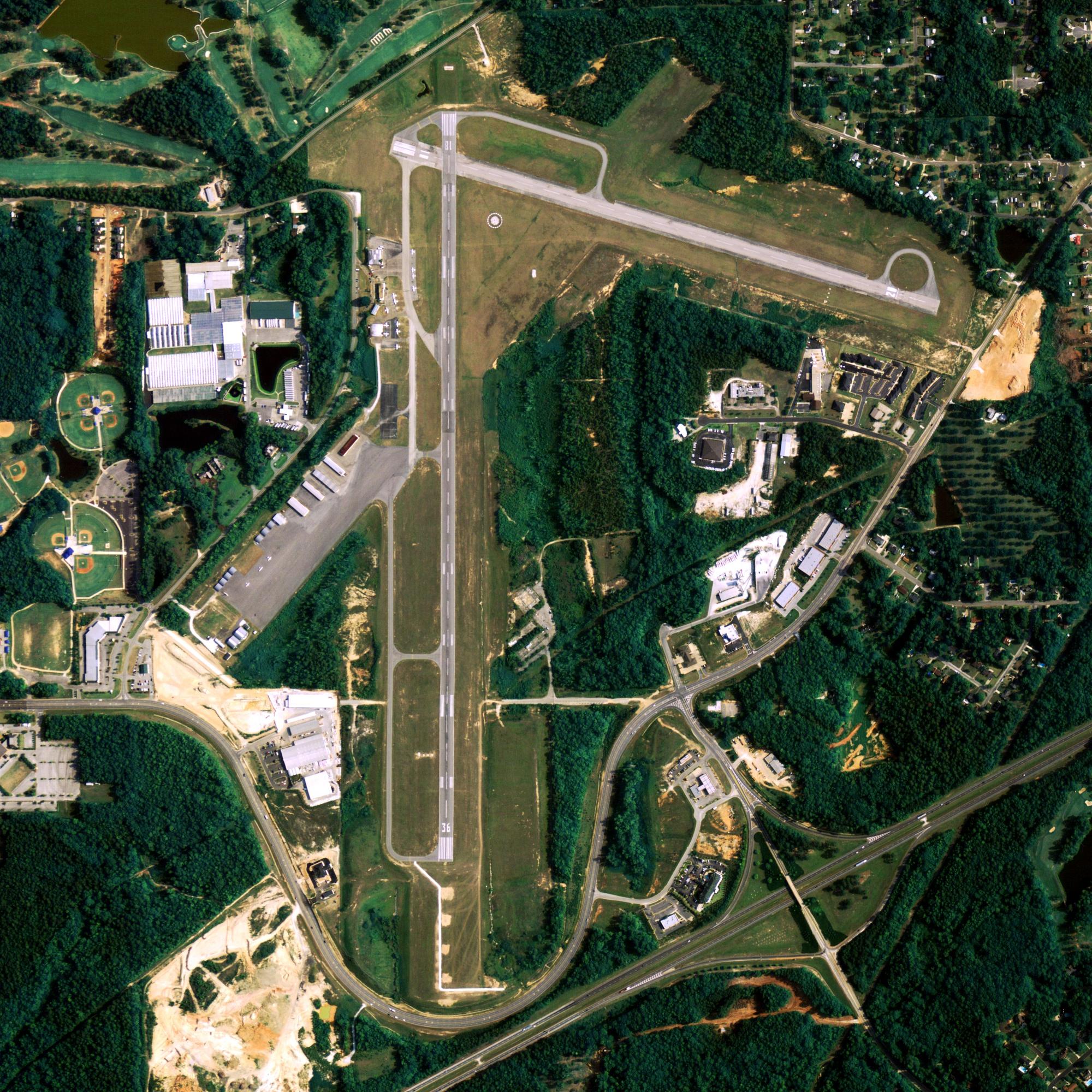
Location
| FAA Identifier: | 37AK |
| Lat/Long: | 59-21-40.4880N 155-15-31.7570W 59-21.674800N 155-15.529283W 59.3612467,-155.2588214 (estimated) |
| Elevation: | 663 ft. / 202 m (estimated) |
| Variation: | 22E (1985) |
| From city: | 3 miles SW of BIG MOUNTAIN, AK |
| Time zone: | UTC -9 (UTC -8 during Daylight Saving Time) |
Runway Information
Runway 7/25
| Dimensions: | 4200 x 145 ft. / 1280 x 44 m | ||
| Surface: | gravel | ||
| RUNWAY 7 | RUNWAY 25 | ||
| Traffic pattern: | right | left | |
Some nearby airports with instrument procedures:
- PFKK – Kokhanok Airport (15 nm E)
- PAIG – Igiugig Airport (20 nm W)
- PAIL – Iliamna Airport (26 nm NE)
- PANO – Nondalton Airport (39 nm N)
- PAKN – King Salmon Airport (59 nm SW)
King Salmon Quick Info
Country: USA
State: Alaska
Area
171.0 sq mi (442.8 km2)
Coordinates 58°41′24″N 156°39′38″W
Population
374
Density: 2.2/sq mi (0.84/km2)
Time zone
UTC-9 (Alaska (AKST))
What to do In
Big Mountain
- NA
Where To Stay In
Big Mountain
*photo by: https://i.imgur.com/0uWCuDC.jpg
Where To Eat In
Big Mountain
- NA


