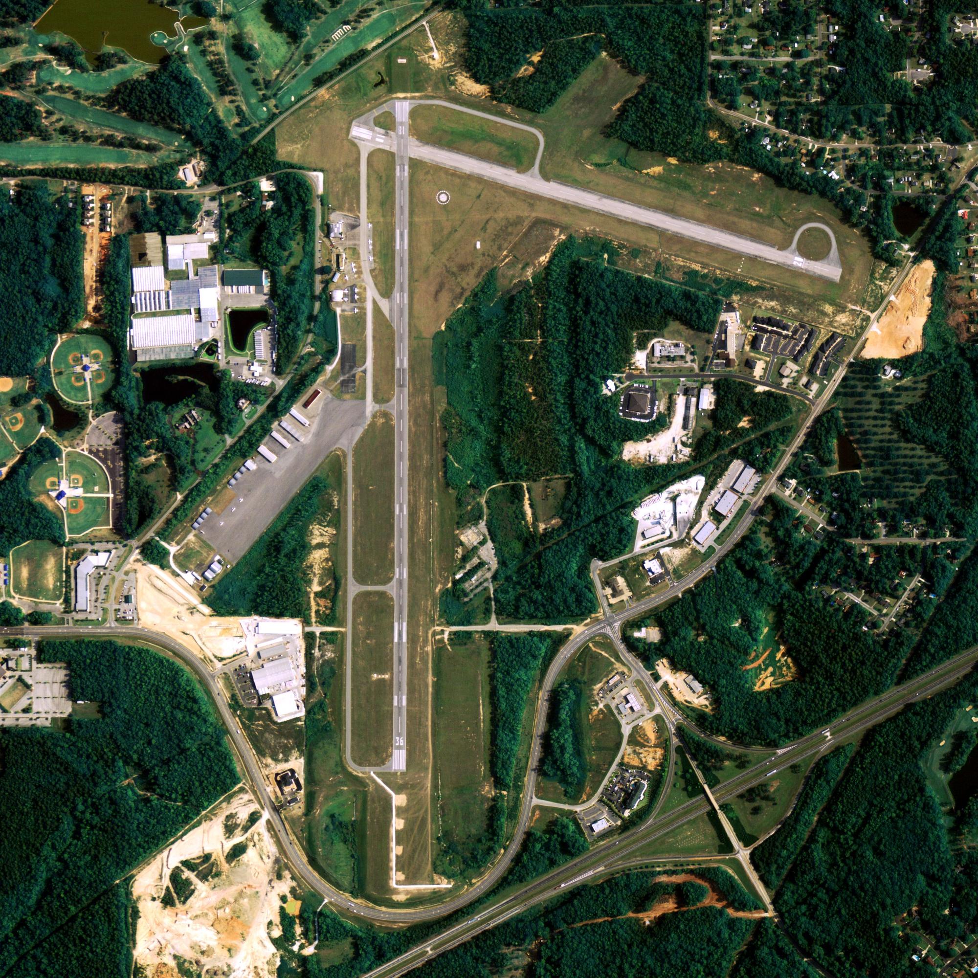
Location
| FAA Identifier: | BCV |
| Lat/Long: | 61-24-57.9196N 149-30-29.9021W 61-24.965327N 149-30.498368W 61.4160888,-149.5083061 (estimated) |
| Elevation: | 83 ft. / 25.3 m (surveyed) |
| Variation: | 19E (2010) |
| From city: | 2 miles NW of BIRCHWOOD, AK (LCTD 2 SM NW OF CHUGIAK.) |
| Time zone: | UTC -9 (UTC -8 during Daylight Saving Time) |
| Zip code: | 99567 |
Runway Information
Runway 2L/20R
| Dimensions: | 4010 x 100 ft. / 1222 x 30 m | ||
| Surface: | asphalt, in fair condition | ||
| Runway edge lights: | medium intensity | ||
| Gradient: | S | ||
| RUNWAY 2L | RUNWAY 20R | ||
| Latitude: | 61-24.705500N | 61-25.214000N | |
| Longitude: | 149-30.971333W | 149-30.099500W | |
| Elevation: | 72.6 ft. | 72.6 ft. | |
| Traffic pattern: | left | right | |
| Runway heading: | 020 magnetic, 039 true | 200 magnetic, 219 true | |
| Markings: | nonprecision, in fair condition | nonprecision, in fair condition | |
| Visual slope indicator: | 4-box VASI on left KEY MIKE 7 TIMES FOR VASI. |
||
| Runway end identifier lights: | no | no | |
| Touchdown point: | yes, no lights | yes, no lights | |
| Obstructions: | 76 ft. trees, 1647 ft. from runway, 19:1 slope to clear -5 FT FENCE 195 FT FM PAVEMENT EDGE. |
55 ft. trees, 1112 ft. from runway, 120 ft. left and right of centerline, 16:1 slope to clear | |
Runway 2R/20L
| Dimensions: | 1800 x 50 ft. / 549 x 15 m | ||
| Surface: | asphalt/gravel, in fair condition FIRST 600 FT OF RWY 20L END IS ASPHALT, THE REST IS GRAVEL. |
||
| RUNWAY 2R | RUNWAY 20L | ||
| Latitude: | 61-24.863667N | 61-25.091833N | |
| Longitude: | 149-30.611667W | 149-30.220000W | |
| Elevation: | 72.6 ft. | 72.6 ft. | |
| Traffic pattern: | left | right | |
| Obstructions: | 4 ft. hill, 125 ft. left of centerline | none | |
Some nearby airports with instrument procedures:
- PAWS – Wasilla Airport (9 nm N)
- PAFR – Bryant Army Airfield Heliport (10 nm SW)
- PAGQ – Big Lake Airport (11 nm NW)
- PAED – Elmendorf Air Force Base (13 nm SW)
- PAMR – Merrill Field Airport (16 nm SW)
- PAAQ – Warren “Bud” Woods Palmer Municipal Airport (16 nm NE)
Anchorage Quick Info
Country: USA
State: Alaska
Area
1,944.05 sq mi (5,035.06 km2)
Coordinates 61°13′N 149°54′W
Population
291,538 (2018 est)
Density
170.81/sq mi (65.95/km2)
Time zone
UTC-9 (AKST)


