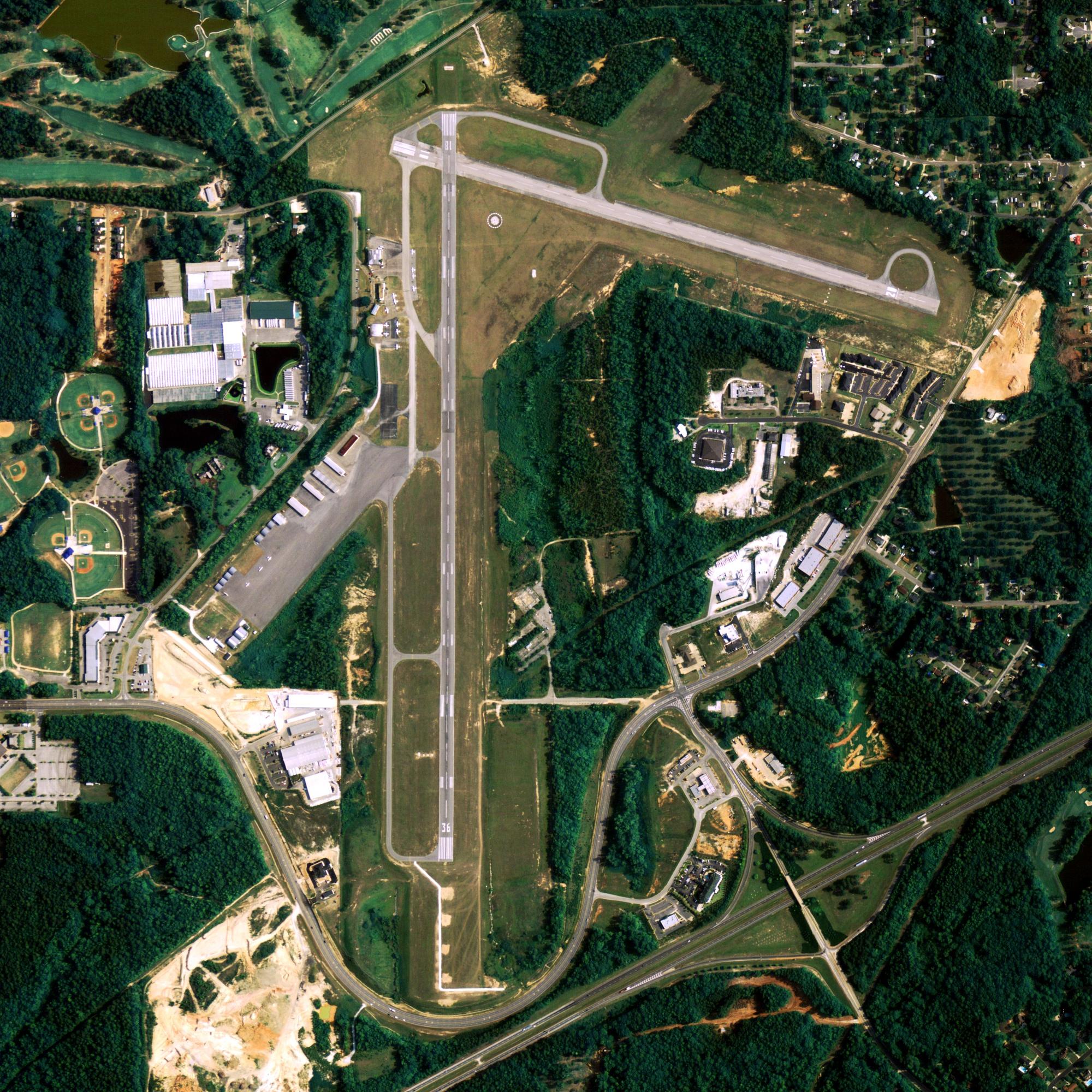
Location
| FAA Identifier: | BVK |
| Lat/Long: | 65-58-53.6000N 161-08-56.9000W 65-58.893333N 161-08.948333W 65.9815556,-161.1491389 (estimated) |
| Elevation: | 29 ft. / 8.8 m (surveyed) |
| Variation: | 11E (2020) |
| From city: | 1 mile SW of BUCKLAND, AK |
| Time zone: | UTC -9 (UTC -8 during Daylight Saving Time) |
Runway Information
Runway 11/29
| Dimensions: | 3200 x 75 ft. / 975 x 23 m | ||
| Surface: | gravel, in good condition | ||
| Runway edge lights: | medium intensity | ||
| RUNWAY 11 | RUNWAY 29 | ||
| Latitude: | 65-59.032015N | 65-58.755533N | |
| Longitude: | 161-09.495630W | 161-08.400800W | |
| Elevation: | 27.1 ft. | 28.7 ft. | |
| Traffic pattern: | left | left | |
| Runway heading: | 111 magnetic, 122 true | 291 magnetic, 302 true | |
| Visual slope indicator: | 4-box VASI on right (3.00 degrees glide path) | 4-box VASI on left (3.50 degrees glide path) | |
| Touchdown point: | yes, no lights | yes, no lights | |
| Obstructions: | 5 ft. brush, 95 ft. left and right of centerline | 60 ft. ant, lighted, 1545 ft. from runway, 155 ft. of centerline, 25:1 slope to clear | |
Other nearby airports with instrument procedures:
- PADE – Deering Airport (40 nm W)
- PASK – Selawik Airport (47 nm NE)
- PFNO – Robert (Bob) Curtis Memorial Airport (50 nm N)
- PAIK – Bob Baker Memorial Airport (62 nm N)
- PAKK – Koyuk Alfred Adams Airport (63 nm S)
Buckland Quick Info
Country: USA
State: Alaska
Area
1.00 sq mi (2.59 km2)
Coordinates 65°59′5″N 161°7′47″W
Population
426 (2018 est)
Density: 500.00/sq mi (193.13/km2)
Time zone
UTC-9 (Alaska (AKST))
What to do In
Buckland
- NA
Where To Stay In
Buckland
*photo by: https://i.imgur.com/0uWCuDC.jpg
Where To Eat In
Buckland
- NA


