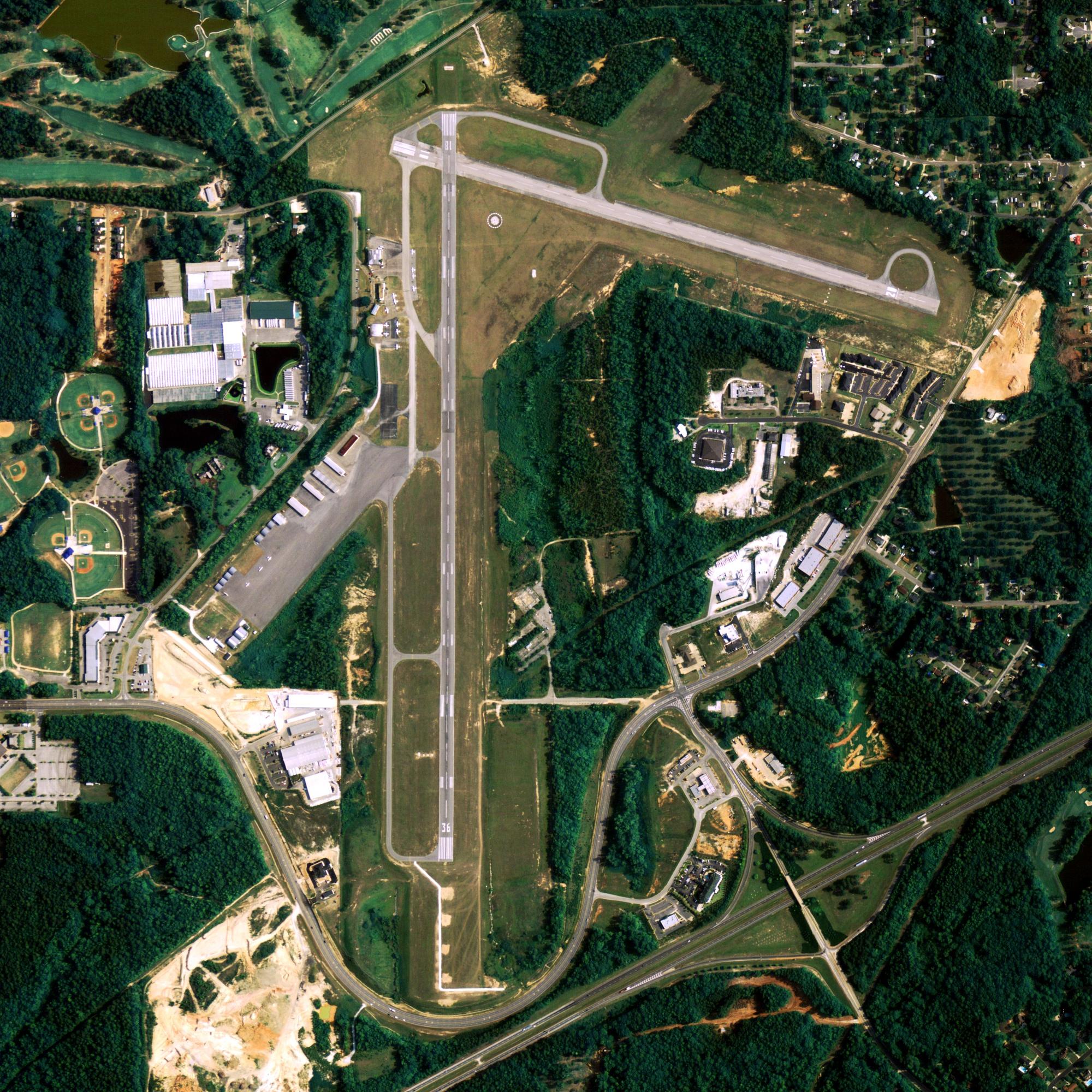
Location
| FAA Identifier: | LUR |
| Lat/Long: | 68-52-30.4600N 166-06-39.8950W 68-52.507667N 166-06.664917W 68.8751278,-166.1110819 (estimated) |
| Elevation: | 14 ft. / 4 m (estimated) |
| Variation: | 16E (2000) |
| Time zone: | UTC -9 (UTC -8 during Daylight Saving Time) |
Runway Information
Runway 9/27
| Dimensions: | 4800 x 135 ft. / 1463 x 41 m | ||
| Surface: | gravel | ||
| Runway edge lights: | high intensity | ||
| Runway edge markings: | CNTRLN OF RWY MARKED IN WINTER WITH SEA-DYE. | ||
| RUNWAY 9 | RUNWAY 27 | ||
| Latitude: | 68-52.580973N | 68-52.435103N | |
| Longitude: | 166-07.738170W | 166-05.594337W | |
| Elevation: | 12.7 ft. | 13.6 ft. | |
| Traffic pattern: | left | right | |
| Runway heading: | 085 magnetic, 101 true | 265 magnetic, 281 true | |
| Visual slope indicator: | 4-light PAPI on left (3.00 degrees glide path) | 4-light PAPI on left (3.00 degrees glide path) | |
| Runway end identifier lights: | yes | yes | |
| Touchdown point: | yes, no lights | yes, no lights | |
| Obstructions: | mtn, 1000 ft. from runway, 10:1 slope to clear | mtn, 1000 ft. from runway, 20:1 slope to clear | |
Other nearby airports with instrument procedures:
- PAPO – Point Hope Airport (35 nm SW)
- PAVL – Kivalina Airport (76 nm SE)
- PPIZ – Point Lay LRRS Airport (84 nm NE)
Cape Lisburne Info
Country: USA
State: Alaska
Coordinates 68°52′52″N 166°12′36″W
Time zone
UTC-9 (Alaska (AKST))
What to do In
Cape Lisburne
- NA
Where To Stay In
Cape Lisburne
*photo by: https://i.imgur.com/0uWCuDC.jpg
Where To Eat In
Cape Lisburne
- NA


