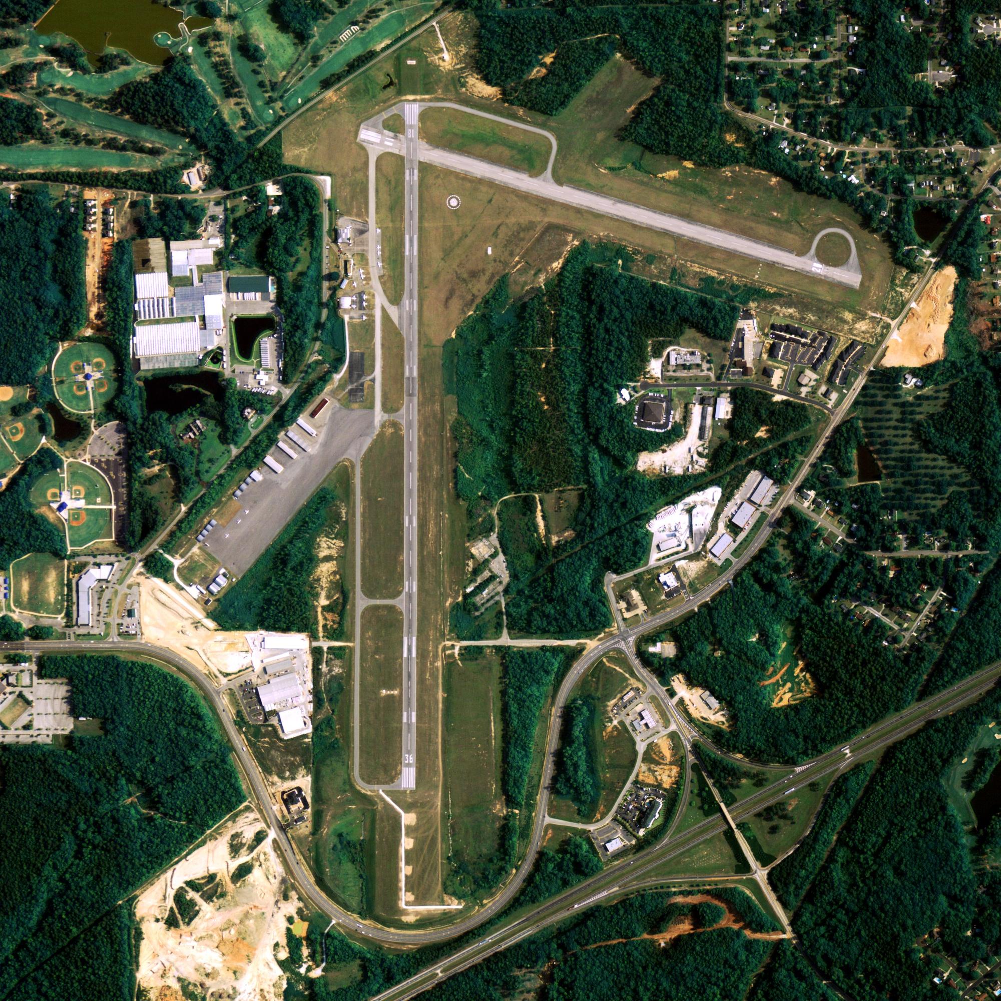
Location
| FAA Identifier: | EHM |
| Lat/Long: | 58-38-53.3400N 162-03-49.6900W 58-38.889000N 162-03.828167W 58.6481500,-162.0638028 (estimated) |
| Elevation: | 531 ft. / 162 m (estimated) |
| Variation: | 12E (2015) |
| From city: | 1 mile SE of CAPE NEWENHAM, AK |
| Time zone: | UTC -9 (UTC -8 during Daylight Saving Time) |
Runway Information
Runway 15/33
| Dimensions: | 3945 x 150 ft. / 1202 x 46 m | ||
| Surface: | gravel | ||
| Gradient: | SOUTHEAST | ||
| RUNWAY 15 | RUNWAY 33 | ||
| Latitude: | 58-39.199833N | 58-38.578000N | |
| Longitude: | 162-04.001833W | 162-03.654500W | |
| Elevation: | 226.4 ft. | 531.0 ft. | |
| Traffic pattern: | left | left | |
| Visual slope indicator: | 2-light PAPI on left (3.00 degrees glide path) | ||
| Runway end identifier lights: | yes | no | |
| Touchdown point: | yes, no lights | yes, no lights | |
| Obstructions: | none | mtn APCH FM NW, LND RWY 15 ONLY, TKOF RWY 33 ONLY. |
|
Other nearby airports with instrument procedures:
- PAPM – Platinum Airport (23 nm N)
- PATG – Togiak Airport (57 nm NE)
- PAQH – Quinhagak Airport (67 nm N)
- PAEE – Eek Airport (94 nm N)
- PAKI – Kipnuk Airport (98 nm NW)
Cape Newenham Quick Info
Country: USA
State: Alaska
Coordinates 58°37′36″N 162°04′34″W
Time zone
UTC-9 (Alaska (AKST))
What to do In
Cape Newenham
- NA
Where To Stay In
Cape Newenham
*photo by: https://i.imgur.com/0uWCuDC.jpg
Where To Eat In
Cape Newenham
- NA


