Location
| FAA Identifier: | CZF |
| Lat/Long: | 61-46-51.6550N 166-02-22.4750W 61-46.860917N 166-02.374583W 61.7810153,-166.0395764 (estimated) |
| Elevation: | 467 ft. / 142 m (estimated) |
| Variation: | 13E (2005) |
| From city: | 6 miles SE of CAPE ROMANZOF, AK |
| Time zone: | UTC -9 (UTC -8 during Daylight Saving Time) |
| Zip code: | 99662 |
Runway Information
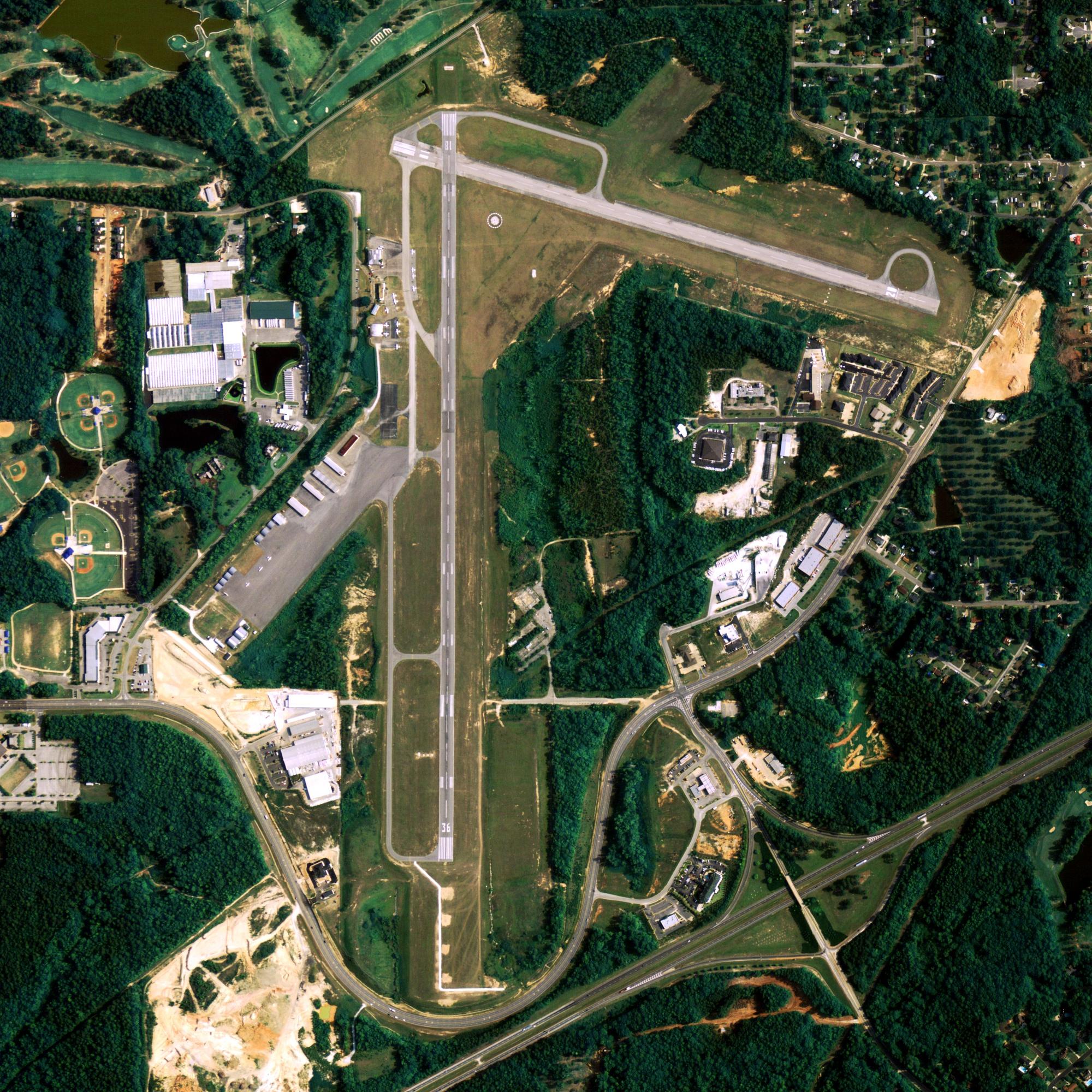
Runway 2/20
| Dimensions: | 3955 x 135 ft. / 1205 x 41 m | ||
| Surface: | gravel | ||
| Gradient: | NORTH | ||
| RUNWAY 2 | RUNWAY 20 | ||
| Latitude: | 61-46.577167N | 61-47.144667N | |
| Longitude: | 166-02.707167W | 166-02.042000W | |
| Elevation: | 374.0 ft. | 467.0 ft. | |
| Traffic pattern: | left | left | |
| Runway heading: | 016 magnetic, 029 true | 196 magnetic, 209 true | |
| Visual slope indicator: | 2-light PAPI on right (3.00 degrees glide path) | ||
| Runway end identifier lights: | yes | no | |
| Touchdown point: | yes, no lights | yes, no lights | |
| Obstructions: | none | ridge, 5280 ft. from runway, 12:1 slope to clear | |
Other nearby airports with instrument procedures:
- PACM – Scammon Bay Airport (14 nm E)
- PAHP – Hooper Bay Airport (16 nm S)
- PAVA – Chevak Airport (19 nm SE)
- PAMO – Mountain Village Airport (69 nm E)
- PAEM – Emmonak Airport (74 nm NE)
Scammon Bay Quick Info
Country: USA
State: Alaska
Area
0.47 sq mi (1.21 km2)
Coordinates 61°50′33″N 165°34′54″W
Population
538 (2018 est)
Density: 1,149.57/sq mi (443.69/km2)
Time zone
UTC-9 (Alaska (AKST))
What to do In
Cape Romanzof
- NA
Where To Stay In
Cape Romanzof
*photo by: https://i.imgur.com/0uWCuDC.jpg
Where To Eat In
Cape Romanzof
- NA


