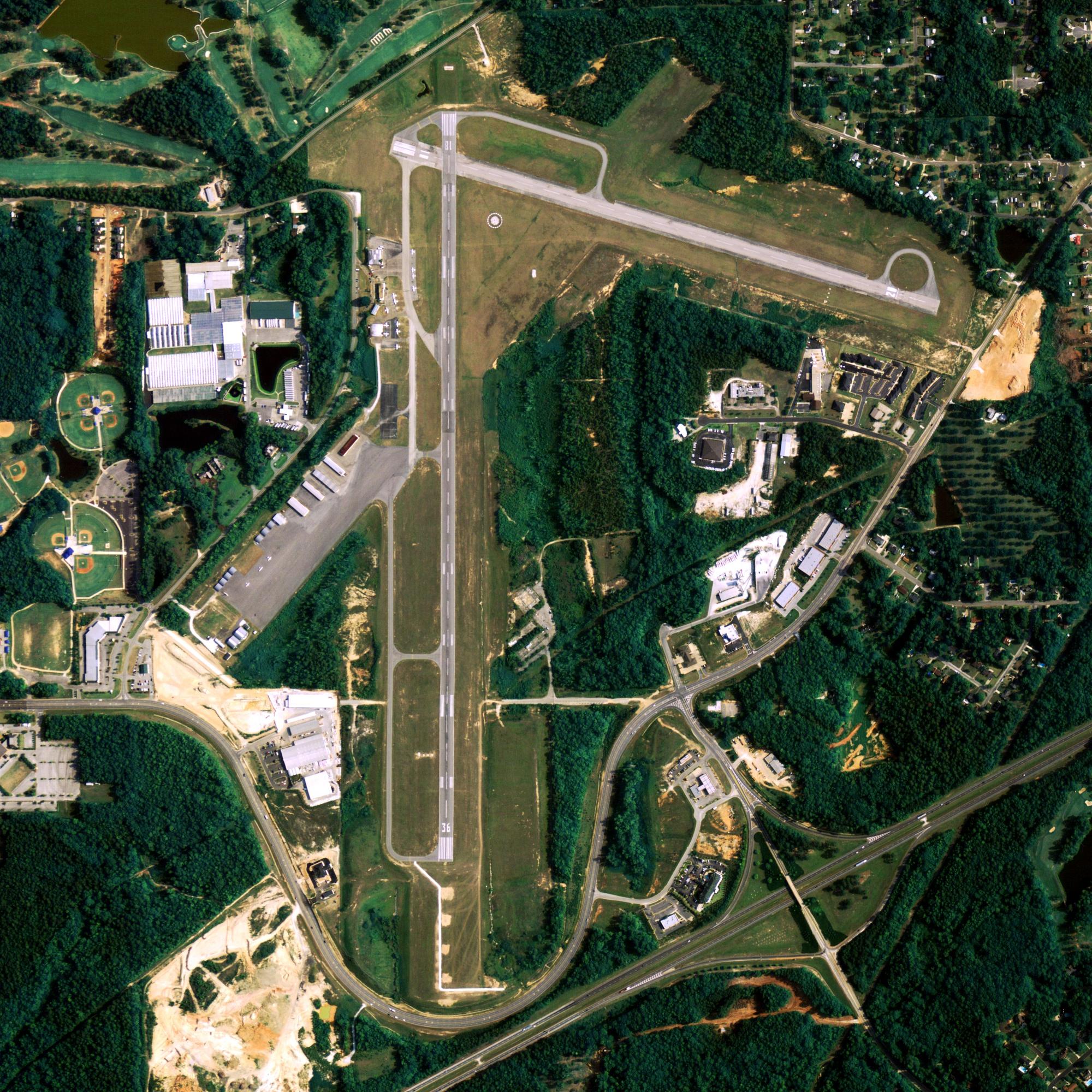
Location
| FAA Identifier: | 26AK |
| Lat/Long: | 54-34-56.7520N 164-54-52.1310W 54-34.945867N 164-54.868850W 54.5824311,-164.9144808 (estimated) |
| Elevation: | 291 ft. / 88.7 m (surveyed) |
| Variation: | 16E (1985) |
| Time zone: | UTC -9 (UTC -8 during Daylight Saving Time) |
Runway Information
Runway 16/34
| Dimensions: | 3500 x 120 ft. / 1067 x 37 m | ||
| Surface: | gravel | ||
| RUNWAY 16 | RUNWAY 34 | ||
| Elevation: | 253.0 ft. | 292.0 ft. | |
| Traffic pattern: | right | left | |
| Markings: | none | none | |
| Runway end identifier lights: | no | no | |
Runway 6/24
| Dimensions: | 1900 x 90 ft. / 579 x 27 m EAST 1100′ OF RWY CLSD AND UNUSABLE. |
||
| Surface: | gravel | ||
| RUNWAY 6 | RUNWAY 24 | ||
| Traffic pattern: | left | left | |
| Markings: | none | none | |
| Runway end identifier lights: | no | no | |
| Obstructions: | none | mtn, 13000 ft. from runway, 7:1 slope to clear | |
Some nearby airports with instrument procedures:
- PAUT – Akutan Airport (36 nm SW)
- PADU – Unalaska Airport (70 nm SW)
- PACD – Cold Bay Airport (84 nm NE)
- PAVC – King Cove Airport (97 nm E)
Unimak Island Quick Info
Country: USA
State: Alaska
Area
1,571.41 sq mi (4,069.9 km2)
Coordinates 54°46′06″N 164°11′12″W
Time zone
UTC-9 (Alaska (AKST))
What to do In
Cape Sarichef
- NA
Where To Stay In
Cape Sarichef
*photo by: https://i.imgur.com/0uWCuDC.jpg
Where To Eat In
Cape Sarichef
- NA


