

Location
| FAA Identifier: | CIK |
| Lat/Long: | 66-38-42.1000N 143-44-23.6000W 66-38.701667N 143-44.393333W 66.6450278,-143.7398889 (estimated) |
| Elevation: | 548.5 ft. / 167.2 m (surveyed) |
| Variation: | 26E (2005) |
| Time zone: | UTC -9 (UTC -8 during Daylight Saving Time) |
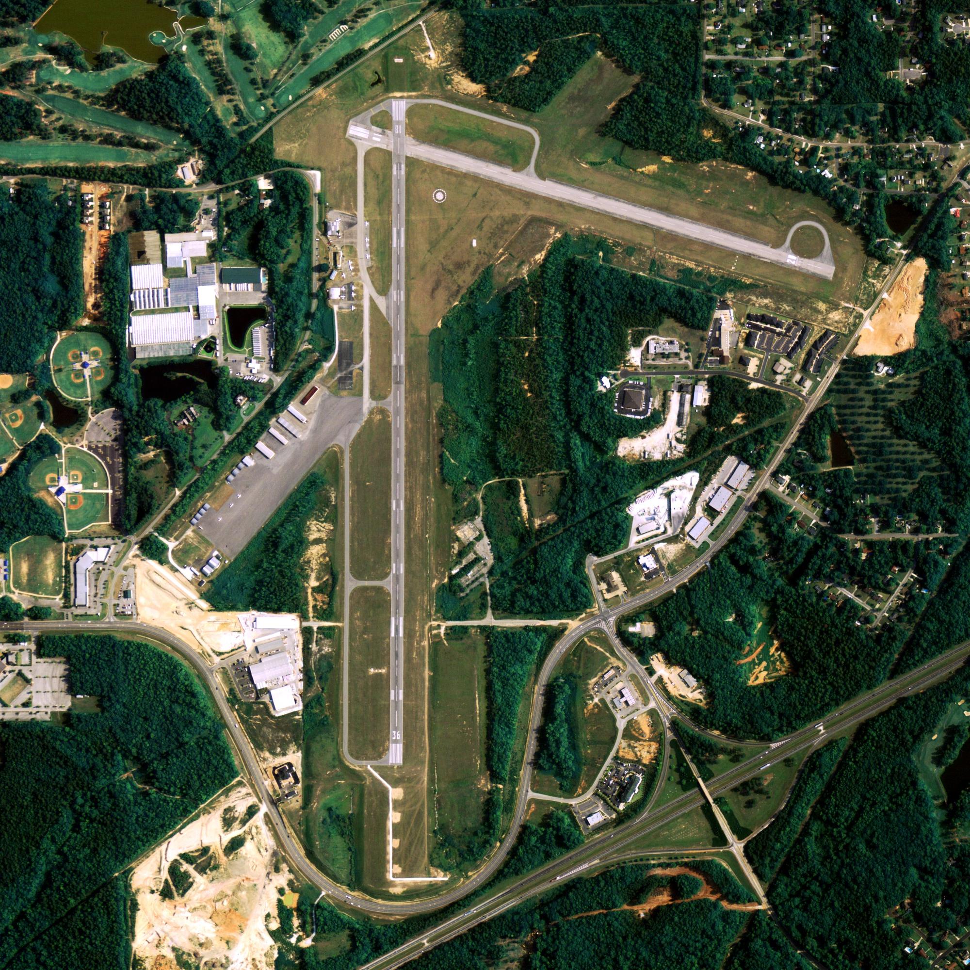
Runway Information
Runway 3/21
| Dimensions: | 4000 x 75 ft. / 1219 x 23 m | ||
| Surface: | gravel/dirt, in fair condition | ||
| Runway edge lights: | medium intensity | ||
| RUNWAY 3 | RUNWAY 21 | ||
| Latitude: | 66-38.506288N | 66-38.896670N | |
| Longitude: | 143-45.057780W | 143-43.729552W | |
| Elevation: | 528.7 ft. | 548.5 ft. | |
| Traffic pattern: | left | left | |
| Runway heading: | 027 magnetic, 053 true | 207 magnetic, 233 true | |
| Displaced threshold: | no | 500 ft. DSPLCD THLD MKD WITH LGTS & REFLECTORS. |
|
| Touchdown point: | yes, no lights | yes, no lights | |
| Obstructions: | 32 ft. trees, 134 ft. left and right of centerline | 8 ft. brush, 10 ft. from runway, 81 ft. left and right of centerline, 1:1 slope to clear | |
Other nearby airports with instrument procedures:
- PFYU – Fort Yukon Airport (36 nm W)
- PAVE – Venetie Airport (66 nm W)
- PACE – Central Airport (69 nm S)
- PAWB – Beaver Airport (89 nm W)
- PARC – Arctic Village Airport (98 nm NW)
Chalkyitsik Quick Info
Country: USA
State: Alaska
Area
9.1 sq mi (23.5 km2)
Coordinates 66°39′6″N 143°43′38″W
Population
69
Time zone
UTC-9 (Alaska (AKST))
What to do In
Chalkyitsik
- NA
Where To Stay In
Chalkyitsik
*photo by: https://i.imgur.com/0uWCuDC.jpg
Where To Eat In
Chalkyitsik
- NA