
Location
| FAA Identifier: | 31E |
| Lat/Long: | 39-39-55.6350N / 074-18-28.9600W 39-39.927250N / 074-18.482667W 39.6654542 / -74.3080444 (estimated) |
| Elevation: | 38.6 ft. / 12 m (estimated) |
| Variation: | 12W (1985) |
| From city: | 2 miles N of WEST CREEK, NJ |
| Time zone: | UTC -4 (UTC -5 during Standard Time) |
| Zip code: | 08092 |
Runway Information
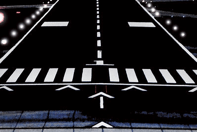
Runway 14/32
| Dimensions: | 3670 x 60 ft. / 1119 x 18 m | ||
| Surface: | asphalt, in good condition | ||
| Runway edge lights: | high intensity | ||
| RUNWAY 14 | RUNWAY 32 | ||
| Latitude: | 39-40.137167N | 39-39.717333N | |
| Longitude: | 074-18.764167W | 074-18.201167W | |
| Elevation: | 31.2 ft. | 38.6 ft. | |
| Traffic pattern: | left | right | |
| Runway heading: | 146 magnetic, 134 true | 326 magnetic, 314 true | |
| Displaced threshold: | 400 ft. | 400 ft. | |
| Markings: | nonprecision, in good condition | nonprecision, in good condition | |
| Visual slope indicator: | 2-light PAPI on left (4.00 degrees glide path) | 2-light PAPI on left (4.00 degrees glide path) PAPI UNUSABLE 5 DEG LEFT OF COURSE. |
|
| Touchdown point: | yes, no lights | yes, no lights | |
| Obstructions: | 58 ft. tree, 785 ft. from runway, 126 ft. right of centerline, 10:1 slope to clear | 64 ft. tree, 484 ft. from runway, 92 ft. right of centerline, 4:1 slope to clear RY 32 70 FT HIGH TREELINE CROSSING EXTENDED CNTRLN BEGINNING 450 FT FM THLD. |
|
Other nearby airports with instrument procedures:
- KMJX – Ocean County Airport (16 nm N)
- KACY – Atlantic City International Airport (18 nm SW)
- N81 – Hammonton Municipal Airport (21 nm W)
- KNEL – Lakehurst Maxfield Field Airport (22 nm N)
- KWRI – McGuire Field (Joint Base Mc Guire Dix Lakehurst) Airport (25 nm NW)

Fly with us often or as little as you like; we will always do our very best to earn your continued business.
West Creek Quick Info
Country: USA
State: New Jersey
Area
Coordinates: 39°38′04″N 74°18′26″W
Time zone Eastern
UTC -5/-4