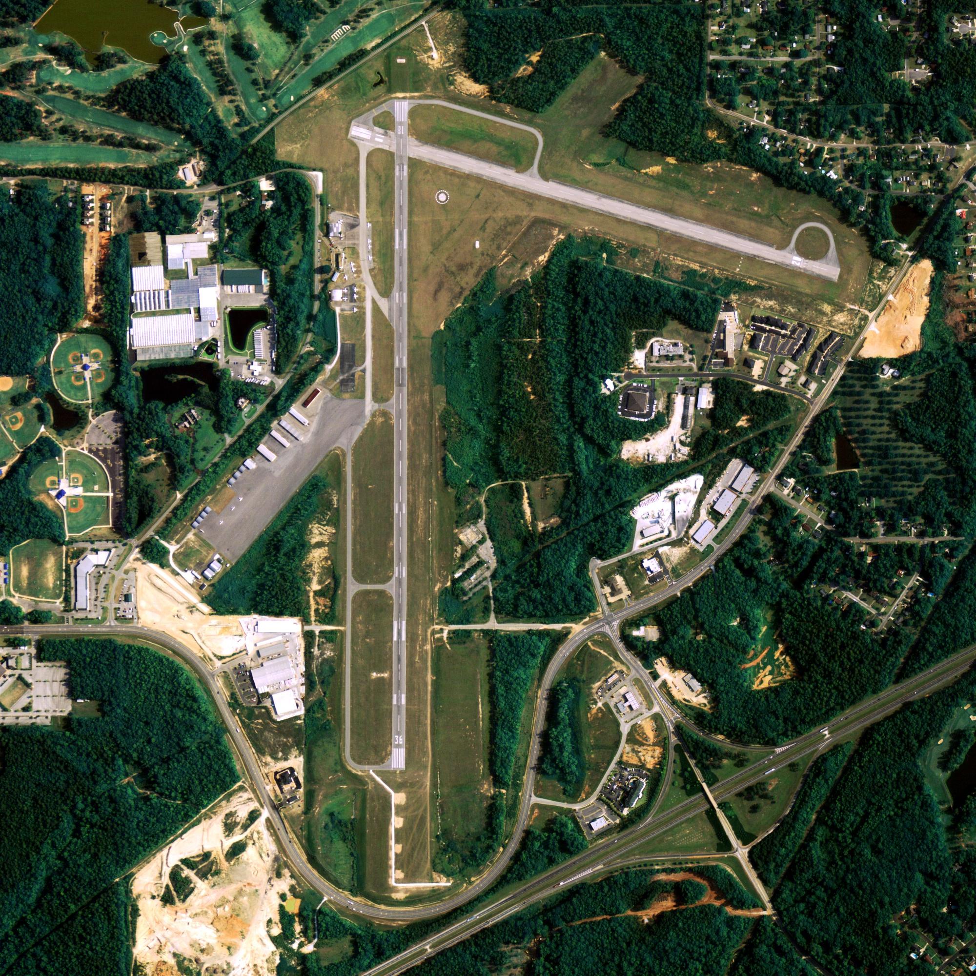
Location
| FAA Identifier: | 74AK |
| Lat/Long: | 61-34-56.3200N 148-59-49.1300W 61-34.938667N 148-59.818833W 61.5823111,-148.9969806 (estimated) |
| Elevation: | 222 ft. / 68 m (estimated) |
| Variation: | 16E (2020) |
| From city: | 3 miles SE of PALMER, AK |
| Time zone: | UTC +0 (year round; does not observe DST) |
| Zip code: | 99645 |
Runway Information
Runway 16/34
| Dimensions: | 3000 x 75 ft. / 914 x 23 m | ||
| Surface: | turf, in fair condition | ||
| RUNWAY 16 | RUNWAY 34 | ||
| Traffic pattern: | left | left | |
| Displaced threshold: | 400 ft. | 400 ft. | |
| Obstructions: | 80 ft. trees, 100 ft. from runway | 80 ft. trees, 100 ft. from runway | |
Some nearby airports with instrument procedures:
- PAAQ – Warren “Bud” Woods Palmer Municipal Airport (3 nm W)
- PAWS – Wasilla Airport (16 nm W)
- PAGQ – Big Lake Airport (23 nm W)
- PAFR – Bryant Army Airfield Heliport (27 nm SW)
- PAED – Elmendorf Air Force Base (31 nm SW)
Barrow Quick Info
Country: USA
State: Alaska
Area
21.48 sq mi (55.63 km2)
Coordinates 71°17′26″N 156°47′19″W
Population
4,488 (2018 est)
Density: 1,072.63/sq mi (414.15/km2)
Time zone
UTC−9 (Alaska (AKST))


